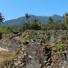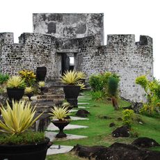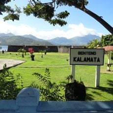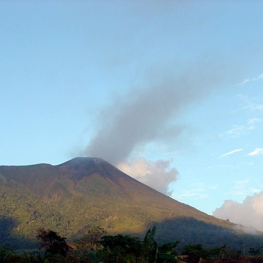
Gamalama, Stratovolcano on Ternate Island, Indonesia.
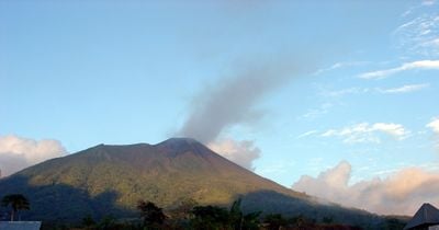
Gamalama is a near-conical stratovolcano that forms the whole of Ternate Island in North Maluku, rising to 1,716 metres. Its lower slopes are covered in dense green vegetation, giving way higher up to brown and dark green rock and soil, and the roughly symmetrical summit is often topped by a plume of grey ash drifting to the right.
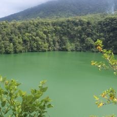
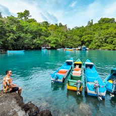
Gamalama's first recorded eruption dates to 1538, and more than 60 eruptions have followed. The deadliest came in 1775, when an eruption destroyed the village of Soela Takomi and killed 141 residents; two lakes, Tolire Jaha and Tolire Kecil, later formed at the site, 18 km from Ternate City. The last eruption was in 2003, when ash closed Sultan Babullah Airport for over a week.
Local communities see the mountain as central to their identity and incorporate it into their daily work and food production. Fertile volcanic soils support farming and fishing practices that have developed around the peak.
Volcanic activity is regularly monitored and can affect travel plans, with occasional airport closures during ash emissions. Visitors should check current conditions before planning their trip to the area.
The name Gamalama comes from Kie Gam Lamo, meaning "great land". The 1775 eruption buried Soela Takomi village and its 141 residents; two lakes, Tolire Jaha and Tolire Kecil, later formed on the site, 18 km from Ternate City.
The community of curious travelers
AroundUs brings together thousands of curated places, local tips, and hidden gems, enriched daily by 92,837 contributors worldwide.