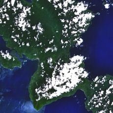
Aketajawe-Lolobata National Park, National park in North Maluku, Indonesia.
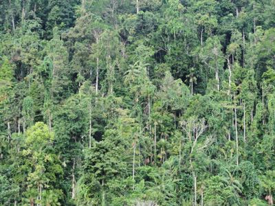
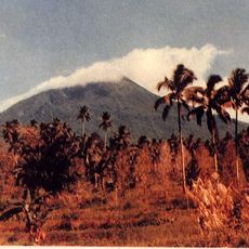
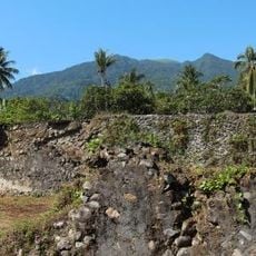
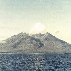
Aketajawe-Lolobata National Park spreads across Halmahera Island, combining lowland and montane rainforests with diverse tree species including Agathis and Intsia bijuga. The landscape shifts between dense forest floors and steeper hillsides as elevation changes throughout the protected area.
The area was historically part of the Moluccas and gained national park status in 2004 after decades of conservation efforts. This recognition followed early protection plans from the 1980s that aimed to preserve this forest region for the future.
The Togutil people have lived in these forests for generations, maintaining deep connections to the land through daily practices and traditional knowledge. Visitors can encounter signs of their presence throughout the park, where life follows the rhythm of the surrounding wilderness.
Visits require advance permission from the Ministry of Environment and Forestry, which oversees access to the protected area. Hiring a local guide is recommended to navigate the forest safely and understand what you encounter along the way.
The park is home to Wallace's standardwing, a bird species with striking wing decorations and elaborate courtship displays. This species is found only in this region, and its mating rituals are among the most remarkable bird behaviors in the world.
The community of curious travelers
AroundUs brings together thousands of curated places, local tips, and hidden gems, enriched daily by 60,000 contributors worldwide.