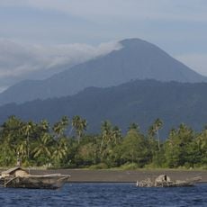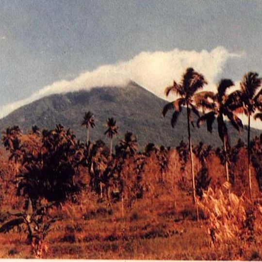
Mount Klabat, Stratovolcano in North Minahasa Regency, Indonesia.
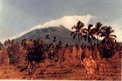
Mount Klabat is a stratovolcano in North Minahasa that rises to approximately 2,000 meters and features a crater lake at its summit. The volcanic cone has steep slopes that drop sharply from the ridgeline down to the surrounding landscape.
Mount Klabat has no confirmed historical eruptions. A report of an eruption in 1683 is now thought to describe an eruption of Mount Tongkoko instead. The Tonsea name Klabat comes from "Kalawat", a local word for the babirusa, which Portuguese sailors recorded as "Calabets" for a mountain on Sulawesi; that name passed to the island as Celebes, today Sulawesi.
The Tonsea people of North Minahasa call the mountain Gunung Tamporok. The name Klabat comes from the Tonsea word "Kalawat", a local animal also called babirusa; Portuguese sailors recorded it as "Calabets", a form linked to the name Celebes. The name is also used for Desa Klabat, Stadion Klabat in Manado and Universitas Klabat in Airmadidi.
Several trekking routes lead up the mountain, and local guides can be hired to help with navigation and provide insights during the climb. The slopes can be wet and muddy after rain, so it's wise to plan your visit during drier months when conditions underfoot are more stable.
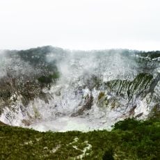
The summit crater holds a shallow lake about 170 by 250 metres, and no eruption of Mount Klabat has ever been confirmed. A report of an eruption in 1683 is now attributed to Mount Tongkoko instead. Five river systems rise on its slopes, among them the Talawaan, Girian, Sawangan and Tondano, whose main river runs through Manado to Manado Bay.
The community of curious travelers
AroundUs brings together thousands of curated places, local tips, and hidden gems, enriched daily by 94,037 contributors worldwide.