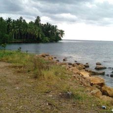
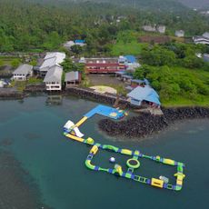
Ruang, Stratovolcano in North Sulawesi, Indonesia.
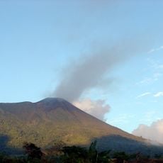
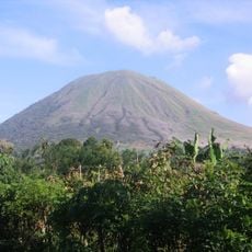
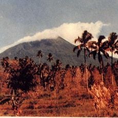
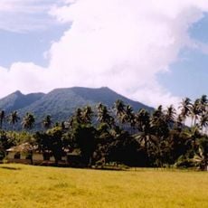
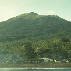
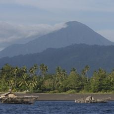
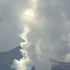
Ruang is a stratovolcano in the Sangihe Islands arc between North Sulawesi and Mindanao, rising 725 meters above sea level. It marks the southernmost point of this active volcanic chain and displays the cone-shaped structure typical of this volcano type.
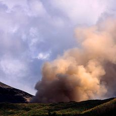
The first recorded eruption of Ruang occurred in 1808. On 3 March 1871 a major eruption began; German zoologist Adolf Bernhard Meyer, an eyewitness, described the cone-shaped island. The eruption triggered a tsunami up to 25 metres high that swept 180 metres inland on Tagulandang, destroying Bahhuas village and a thick-walled church; about 400 people drowned. Ruang was then uninhabited, but Tagulandang residents had plantations on its slopes, which the eruption destroyed in minutes.
Two villages sit on Ruang island: Laingpatehi and Pumpente, both in Tagulandang district, Siau Tagulandang Biaro Islands Regency. Residents live only along the coast, and parts of the volcano's slopes are farmed. In 1871 the island itself was uninhabited, but people from nearby Tagulandang kept plantations on those slopes, which the eruption destroyed in minutes.
Ruang island lies about one kilometre from Tagulandang, and its two coastal villages, Laingpatehi and Pumpente, are reached by boat. The 2024 eruptions led to the evacuation of all 843 island residents, so check access and volcanic alert status with local authorities before planning a crossing.
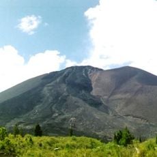
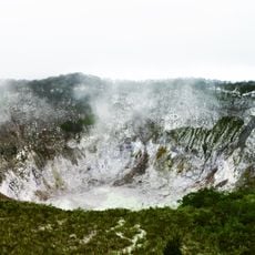
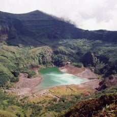
Ruang's summit lava dome formed during activity in 1904, and the 725-metre peak was measured before the 2024 eruption. The island has two villages, Laingpatehi and Pumpente, both on the coast. From the top, Klabat's peak to the south, Siau to the north and Ternate to the east can be seen.
The community of curious travelers
AroundUs brings together thousands of curated places, local tips, and hidden gems, enriched daily by 92,923 contributors worldwide.