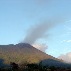
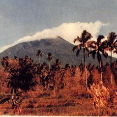
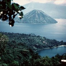
Mount Tondano, Active volcano in North Sulawesi, Indonesia.
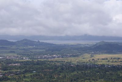
Mount Tondano is an active volcano in North Sulawesi with a massive caldera that stretches approximately 20 kilometers in one direction and 10 kilometers in the other. The western shore of Lake Tondano provides views of this geologically active peak and its large crater depression.
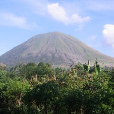
The volcano formed through two major eruptive episodes that ejected vast amounts of rock and ash, reshaping the landscape dramatically. These eruptions created the geological conditions that define the region today.
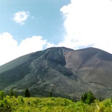
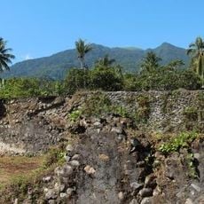
Local residents have farmed the fertile volcanic slopes for generations, growing rice and vegetables that thrive in the nutrient-rich soil. This agricultural way of life shapes the landscape and daily rhythms of the communities around the lake.
The volcano lies on the western shore of the lake and is accessible from local communities, with hiking routes through the caldera varying in difficulty. It is advisable to hire local guides and respect the geothermally active areas, which require extra caution.
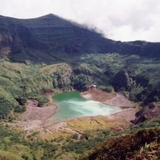
Inside the main caldera sits a smaller crater depression that is completely enclosed, revealing the complex volcanic history of the mountain. This layering of different crater-forming events makes it a remarkable example of repeated volcanic activity over time.
The community of curious travelers
AroundUs brings together thousands of curated places, local tips, and hidden gems, enriched daily by 60,000 contributors worldwide.