North Maluku, Province in northeastern Indonesia.
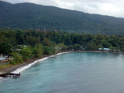
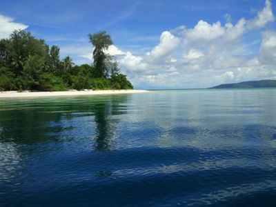
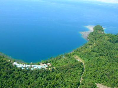
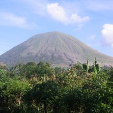
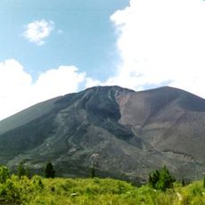
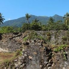
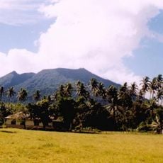
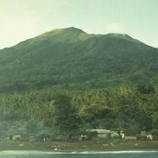
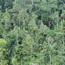
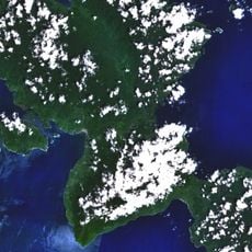
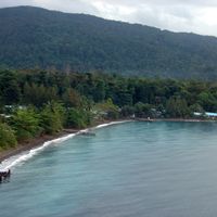
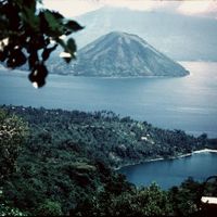
North Maluku is a province in northeastern Indonesia that spreads across numerous islands in the Molucca Sea, with Halmahera as its largest component. Dense rainforests cover the mountain slopes while smaller atolls and volcanic coastlines shape this fragmented island landscape.
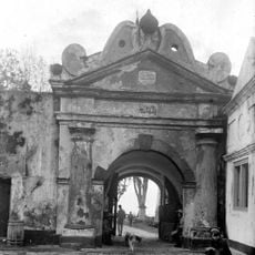
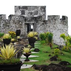
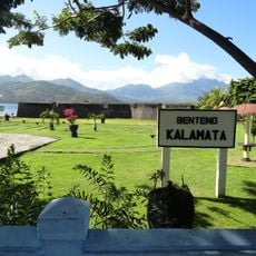
Four Islamic sultanates ruled here from the 13th century onward and controlled the spice trade in cloves and nutmeg, attracting European colonial powers. The Dutch established their control starting in the 17th century and fundamentally altered the political structure of the region.
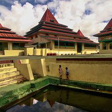
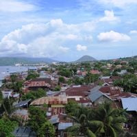
People here speak several local languages and maintain traditional boat-building techniques passed down through generations. Wooden houses on stilts rise above the water in many coastal villages, showing how communities have adapted to life among these islands.
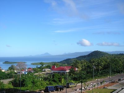
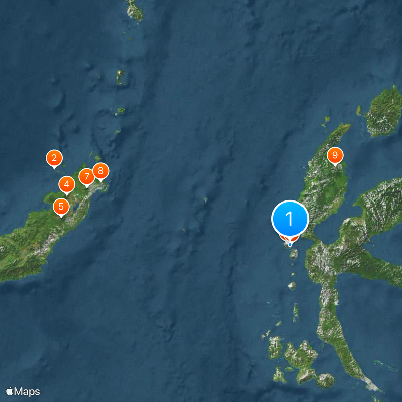
Ferry connections link the inhabited islands, with Ternate serving as the central hub for travel within the province. Visitors planning to explore multiple islands should allow plenty of time, as crossings can take several hours depending on weather conditions.
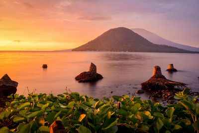
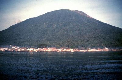
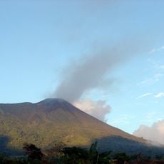
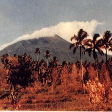
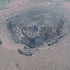
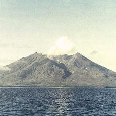
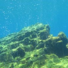
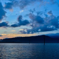
Some of the deepest ocean waters in Indonesia lie here between the islands, while active volcanic cones still rise from the sea. Along certain coastlines you can find black sand from volcanic rock, clearly different from the pale coral beaches on other islands.
The community of curious travelers
AroundUs brings together thousands of curated places, local tips, and hidden gems, enriched daily by 60,000 contributors worldwide.