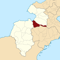
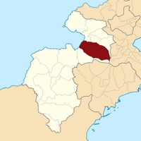
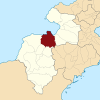
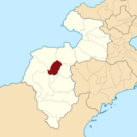
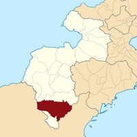
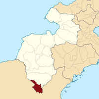
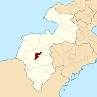
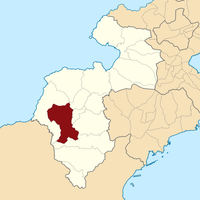
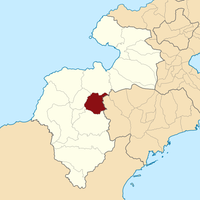
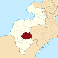
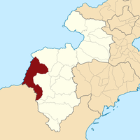
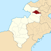
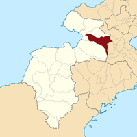
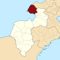
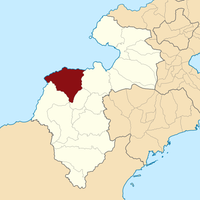
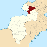
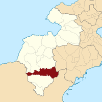
South Minahasa, Administrative region in North Sulawesi, Indonesia
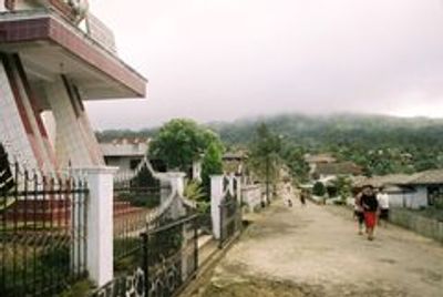
South Minahasa is an administrative region in North Sulawesi consisting of seventeen districts spread across different areas. Amurang functions as the regional administrative center where government operations and public services are based.
The region was established as its own administrative division in 2003 after separating from the original Minahasa area. This split created a distinct governance structure for residents in the southern part.
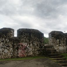
Local residents maintain strong ties to their traditions through customs and celebrations passed down within families. These practices shape daily life and create a sense of community throughout the region.
The region connects to other areas of North Sulawesi through established road networks that support travel and commerce. Road conditions can vary depending on the season, so planning accordingly is helpful.
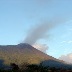
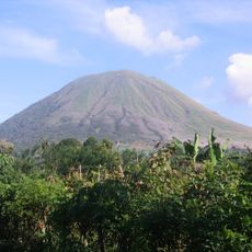
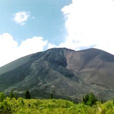
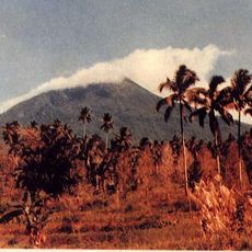
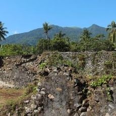
Different parts of the region sit at higher elevations where farmers grow specialized crops suited to the tropical conditions. These elevated zones influence farming practices and how people live in distinctive ways.
Location: North Sulawesi
Inception: February 25, 2003
Capital city: Amurang
Elevation above the sea: 500 m
Shares border with: Minahasa, Southeast Minahasa, East Bolaang Mongondow, Bolaang Mongondow
GPS coordinates: 0.58333,124.30000
Latest update: December 7, 2025 19:25
Bunaken
126.7 km
Gamalama
338.5 km
Kentur Lokon
103.2 km
Gunung Soputanpatepangan
75.9 km
Kepulauan Togean National Park
278 kmSha'ar Hashamayim Synagogue
105.3 km
Mount Klabat
126.5 km
Otanaha Fortress
143.9 km
Tangkoko Batuangus Nature Reserve
143.4 km
Mount Mahawu
106.3 km
Fort Kastella
335.9 km
Banua Wuhu
312.3 km
Bogani Nani Wartabone National Park
69.1 km
Colo
311.2 km
Mount Tondano
93.1 km
Ruang
225.2 km
Ban Hin Kiong Temple
118.1 km
Mount Tongkoko
143.6 km
Mount Empung
102.2 km
Pantai Indah Modisi
21 km
Tompaluan
103.2 km
Museum dan Monumen Pendaratan Pesawat Ampibi Catalina
145.2 km
Gereja GMIBM Efrata Modisi
21.2 km
Bulud Kanari
20.9 km
Taman Nasional Hutan Mangrove
21.4 km
Modisi Beach
20.1 km
Gereja GPDI Modisi
21.1 km
Gereja KGPM Modisi
21.1 kmVisited this place? Tap the stars to rate it and share your experience / photos with the community! Try now! You can cancel it anytime.
Discover hidden gems everywhere you go!
From secret cafés to breathtaking viewpoints, skip the crowded tourist spots and find places that match your style. Our app makes it easy with voice search, smart filtering, route optimization, and insider tips from travelers worldwide. Download now for the complete mobile experience.
A unique approach to discovering new places❞
— Le Figaro
All the places worth exploring❞
— France Info
A tailor-made excursion in just a few clicks❞
— 20 Minutes