
Tanjung Pinang Kota, district in Tanjung Pinang City, Riau Islands Province, Indonesia
Location: Tanjung Pinang
Elevation above the sea: 7 m
GPS coordinates: 0.95750,104.43444
Latest update: March 15, 2025 07:25

Jewel Changi Airport
66.8 km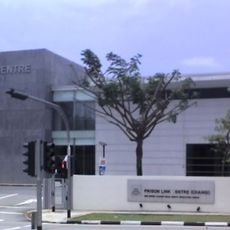
Changi Prison
67.9 km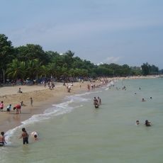
East Coast Park
68.4 km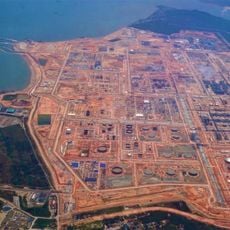
Pengerang Integrated Petroleum Complex
55.2 km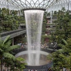
Rain Vortex
66.8 km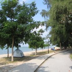
Changi Beach Park
67.6 km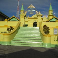
Grand Mosque of Riau Sultan
3.5 km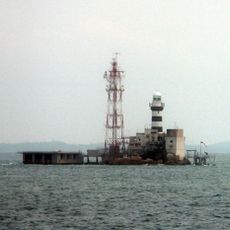
Horsburgh Lighthouse
41.6 km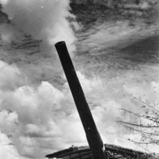
Johore battery
68 km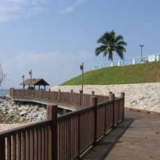
Changi Boardwalk
70.3 km
Sri Ramar Temple
69.1 km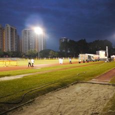
Bedok Stadium
68.8 km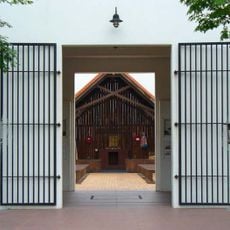
Changi Murals
67.9 km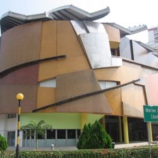
Marine Parade Community Building
70.1 km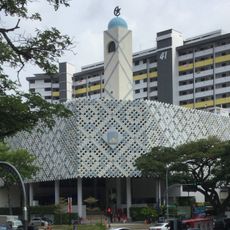
Masjid Al-Ansar
69.9 km
Bedok Lighthouse
68.2 km
Masjid Al-Istighfar
69.7 km
Changi Museum
68.2 km
Bedok Town Park
69.7 km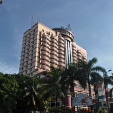
Planet Holiday Hotel & Residence
52.2 km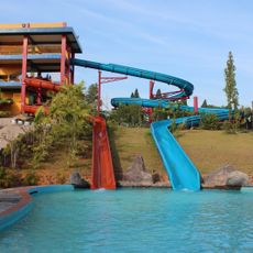
ARECA WATER PARK
10 km
Ex Camp Vietnam
34.4 km
Museum Sultan Sulaiman Badrul Alamsyah
3.3 km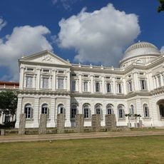
Changi Chapel & Museum
68.2 km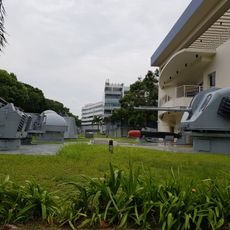
Navy Museum
61.3 km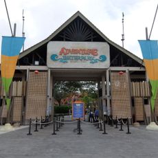
Desaru Coast Adventure Waterpark
67.6 km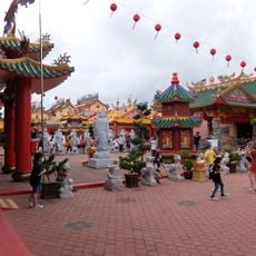
Taman Bayu Damai Temple Village
50.9 km
Desaru Beach
68.4 kmReviews
Visited this place? Tap the stars to rate it and share your experience / photos with the community! Try now! You can cancel it anytime.
Discover hidden gems everywhere you go!
From secret cafés to breathtaking viewpoints, skip the crowded tourist spots and find places that match your style. Our app makes it easy with voice search, smart filtering, route optimization, and insider tips from travelers worldwide. Download now for the complete mobile experience.

A unique approach to discovering new places❞
— Le Figaro
All the places worth exploring❞
— France Info
A tailor-made excursion in just a few clicks❞
— 20 Minutes