Hoher Weißzint, Mountain summit in Zillertal Alps, Italy and Austria
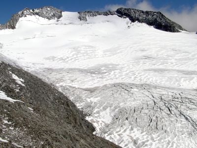
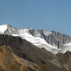
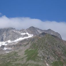
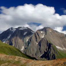
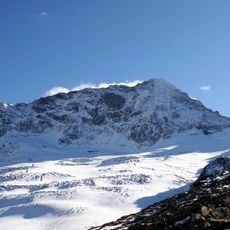
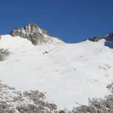
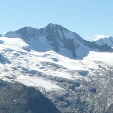
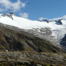
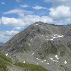
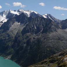
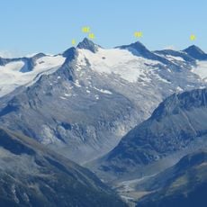
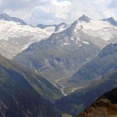
The Hoher Weißzint is a mountain peak in the Zillertal Alps that marks the border between Tyrol and South Tyrol, rising to 3,371 meters above sea level. The summit features distinctive granite rock formations that characterize the massif and are visible from several valleys below.
The peak became an official border marker following the peace treaties after the First World War, separating Austrian and Italian territories. This territorial arrangement has remained unchanged and continues to define the geographic divide in the region.
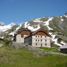
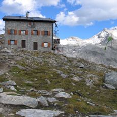
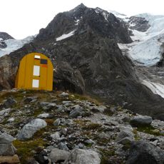
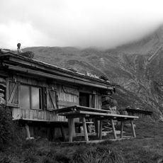
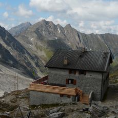
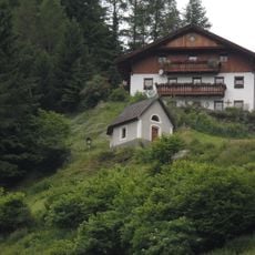
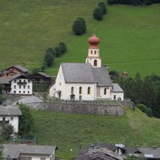
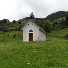
The mountain huts scattered across the valleys serve as social gathering points where climbers share meals and stories with locals. These shelters reflect how Alpine communities have historically supported mountain ventures through hospitality and shared resources.
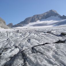
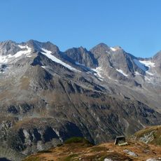
Several marked trails approach the summit from different valleys, and all routes require technical climbing skills and experience in alpine terrain. Visitors should be prepared for sudden weather changes and bring proper climbing gear along with knowledge of emergency navigation in mountains.
The mountain goes by two different names depending on the language region: Punta Bianca in Italian-speaking areas and Hoher Weißzint in German-speaking regions. This dual nomenclature reflects the cultural and linguistic divide that the peak physically embodies as a border landmark.
The community of curious travelers
AroundUs brings together thousands of curated places, local tips, and hidden gems, enriched daily by 60,000 contributors worldwide.