Finkenberg, municipality in Schwaz District, Tyrol, Austria
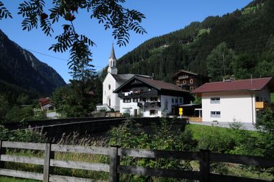
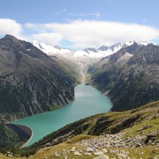
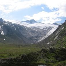
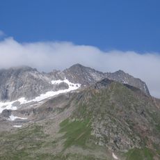
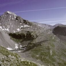
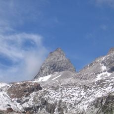
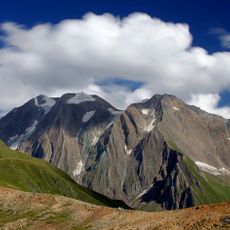
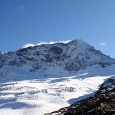
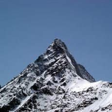
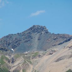
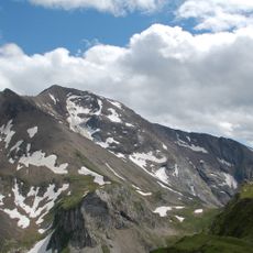
Finkenberg is a small municipality in Austria's Schwaz District, situated at the entrance to Tux Valley and surrounded by the Penken and Gruenberg mountain peaks. The village sits at around 840 meters elevation with traditional wooden farmhouses nestled among green meadows and forest paths.
The area was once part of a medieval trade route through the mountains and underwent territorial changes after a treaty redefined the border with Italy. Agriculture shaped the village over centuries, forming its structure and culture into the present day.
The village is rooted in alpine traditions visible in its simple wooden architecture and local gatherings at taverns and weekly markets. Visitors can observe how residents maintain connections to farming heritage and seasonal celebrations that mark the rhythm of community life.
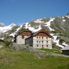
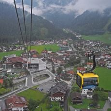
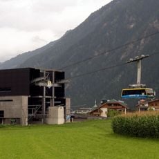
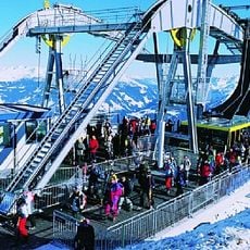
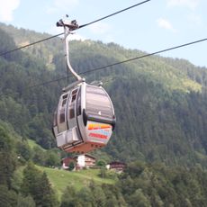
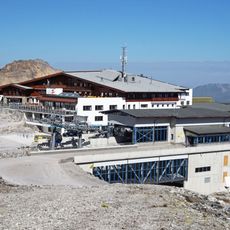
The village is easily accessible with cable cars connecting to higher mountain destinations and a free bus system for visitors. Accommodation ranges from simple inns to modern hotels, and flat paths through town make exploration straightforward for visitors of all ages.
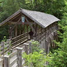
Two historic stone bridges define the area: the Hochsteg Bridge displays craftsmanship passed down through generations, while the Devil's Bridge carries a local legend claiming the devil himself built it. These old structures connect visitors to the place's past in unexpected ways.
The community of curious travelers
AroundUs brings together thousands of curated places, local tips, and hidden gems, enriched daily by 60,000 contributors worldwide.