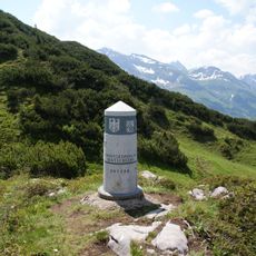
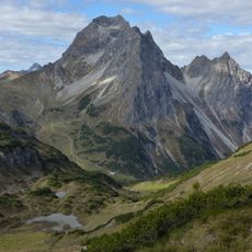
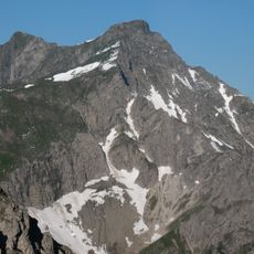
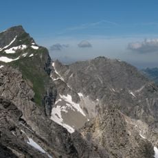
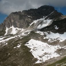
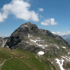
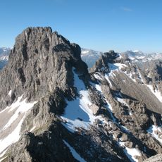
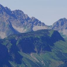
Geißhorn, Mountain summit in the Allgäu Alps on the border between Bavaria, Germany, and Vorarlberg, Austria
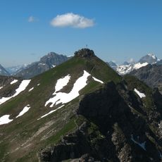
Geißhorn is a 2,366-metre summit in the Allgäu Alps, its crest forming the border between Bavaria and Vorarlberg. The south-east side above the Kleines Walsertal falls toward the Haldenwanger Bach, the north-west side toward the Gemstelbach. The south ridge is climbed on a marked path from the Mindelheimer Hütte; the saddle below it can also be reached from Bödmen through the Gemstelbach valley.
The Geißhorn lies on the border between Bavaria and Vorarlberg, about 3.5 km north of Warth and 4 km northeast of the Hochtannberg Pass. Its south ridge, reached from the Mindelheimer Hut, is marked as a route to the summit; the saddle below it can also be gained from Bödmen through the Gemstelbach valley. The mountain rises 2,366 m, with a prominence of 178 m and a dominance of 1,000 m relative to the Liechelkopf.
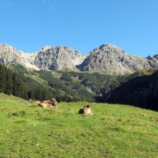
The mountain sits where Bavarian and Vorarlberg Alpine traditions meet. Both sides show different approaches to meadow management and how people interact with the high grasslands.
The summit is reached from the Mindelheimer Hütte via the south ridge on a marked path; the saddle below the ridge can also be gained from Bödmen through the Gemstelbach valley. The route crosses the border between Bavaria and Vorarlberg, so carry valid identification. Check conditions before setting out.
The summit marks the border between Bavaria and Vorarlberg, but the mountain is also a border peak in a chain: the Liechelkopf (2,384 m) rises directly to the north and the Haldenwanger Kopf (2,002 m) to the south. Its 178 m saddle height and 1,000 m dominance are measured against the Liechelkopf.
The community of curious travelers
AroundUs brings together thousands of curated places, local tips, and hidden gems, enriched daily by 93,635 contributors worldwide.