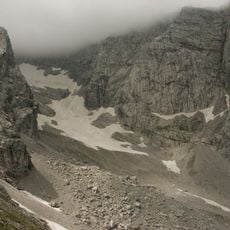
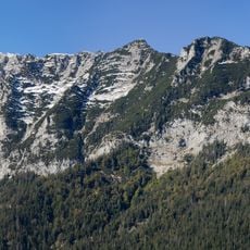
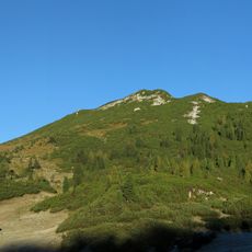
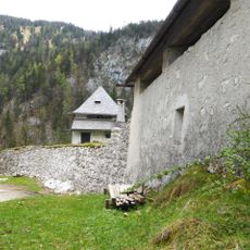
Stadelhorn, Mountain peak in Berchtesgaden Alps, Germany.
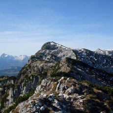
Stadelhorn is the highest peak of the Reiter Alm, a ridge on the border between Bavaria and Salzburg, reaching 2,286 metres. It is an exposed hiking summit rather than a climbing mountain: the normal route follows the western arête from the Mayrbergscharte at 2,055 metres, and only a sport climbing route through the southwest wall is frequently climbed.
The sources record no first-ascent date or climber for the Stadelhorn; the claim of a Karl Thurwieser ascent in 1825 is not supported. What they do document is the mountain's position on the Bavarian-Salzburg border and its long use as a hiking summit, reached by the Loferer Steig from Austria and the Schaflsteig from Bavaria.
The Stadelhorn straddles the Bavaria–Salzburg border, so hikers cross between Germany and Austria on the ridge. Approaches come from Austrian villages such as Lofer, St. Martin bei Lofer and Unken, and from the Bavarian side via the Klausbachtal and Hintersee. The usual route leaves the Mayrbergscharte at 2,055 m along the Westgrat.
The normal route to the summit runs over the western arête from the Mayrbergscharte at 2,055 m. Hikers reach that gap via the Loferer Steig from the Austrian side or the Schaflsteig from the Bavarian side through the Engert Alm, or via the Roßkarscharte and upper Wagendrischelkar. The exposed ridge demands sure-footedness and a head for heights.
The Stadelhorn's west ridge route starts at the Mayrbergscharte at 2,055 m, reached either by the Loferer Steig from Austria or the Schaflsteig from Bavaria via the Engert Alm. Unlike its eastern neighbour, the Großes Mühlsturzhorn, the summit has few climbing routes; only a sport climbing route through the southwest face is frequently climbed.
The community of curious travelers
AroundUs brings together thousands of curated places, local tips, and hidden gems, enriched daily by 94,056 contributors worldwide.