Mieming, municipality in Imst District, Tyrol, Austria
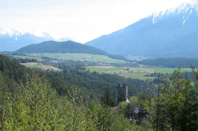
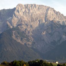
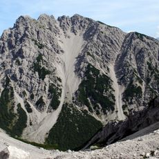
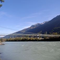
Mieming is a rural municipality in the Imst District of Tyrol, sitting on a raised plateau above the Inn Valley. It is made up of several small villages and hamlets spread across a relatively flat landscape surrounded by mountain ranges.
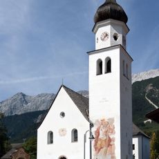
Mieming grew from a farming settlement that developed over centuries on the plateau above the Inn Valley. Agriculture shaped the layout of the villages and the building styles that can still be seen today.
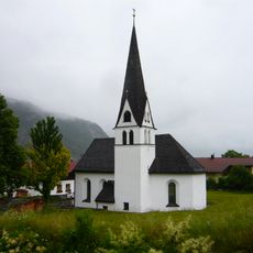
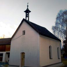
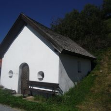
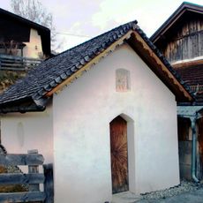
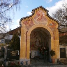
The farmhouses here are decorated with painted gables and wall paintings showing motifs from everyday life and religious traditions. These decorations are still maintained by local families and remain a visible part of the village today.
The municipality is easy to reach by bus or car from nearby towns such as Imst and Telfs, and the flat plateau is well suited for walking or cycling. For walks toward the plateau edges, sturdy footwear is a good idea as the terrain becomes more uneven.
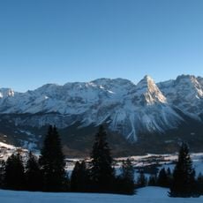
The Mieming Plateau sits at around 2,600 feet (800 meters) above sea level, giving it a milder climate than the deep Inn Valley below. In autumn, the plateau often stays above the fog that settles into the valley, making it sunnier than the towns lower down.
The community of curious travelers
AroundUs brings together thousands of curated places, local tips, and hidden gems, enriched daily by 60,000 contributors worldwide.