Enable Location

We need your location to show you interesting places around you

Discover nearby places

Find interesting locations and hidden gems around you

Precise directions

Get accurate directions and distances to places

Your location is never shared with other users. It's only used when you tap the location button.

Mieminger Chain

Log in to your account

Start exploring — it's free

Trusted by 65,098 travelers worldwide

Continue with Google
Continue with Apple
or

We will send you a code to connect

By continuing, you accept our Terms and Conditions and our Privacy Policy

Check your inbox

We've sent a pincode in your inbox. Please enter the code below.

Mieminger Chain
Discussion Reviews 1 Photos
9.3k Popularity

Mieminger Chain, Mountain range in Bezirk Reutte, Austria

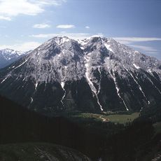
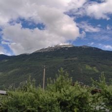
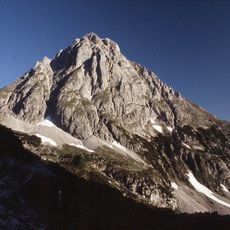
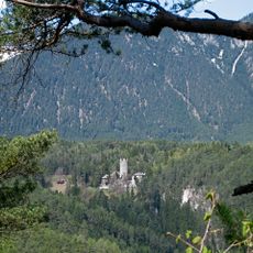
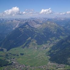
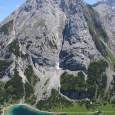
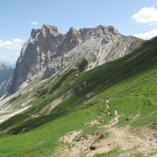
The Mieminger Chain is a limestone mountain range in Tyrol, running between the Otztal Alps to the south and the Wetterstein Mountains to the north. Its highest point, the Hochwand, sits at around 2,768 meters (9,081 ft) and is surrounded by broad plateaus and steep rock faces.

The Mieminger Chain began to take shape around 35 million years ago, when tectonic forces pushed ancient marine sediments northward and created the limestone that defines the range today. Long before modern trails were marked, people crossed these mountains using the same natural passes that hikers still follow.

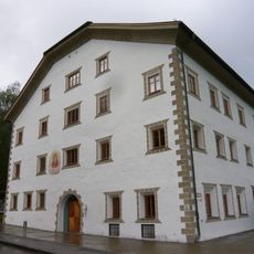
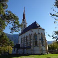
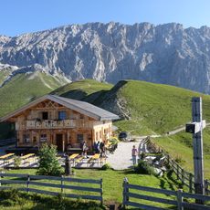
The mountain huts along the range are gathering points where hikers stop after long days on the trail and share traditional Tyrolean food. The simple wooden buildings with their open terraces show how closely the villages in the surrounding valleys have always lived alongside these mountains.

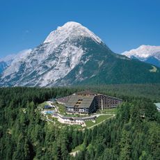
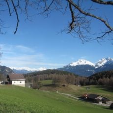
The villages of Ehrwald and Lermoos sit at the foot of the range and offer good starting points for routes into the mountains. Anyone planning longer hikes should bring solid footwear, enough water, and warm layers, as conditions at higher elevations can change quickly.

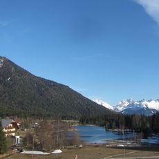
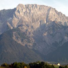
The limestone faces of the Mieminger Chain shift color through the day, appearing grey in the morning, nearly white at midday, and yellowish at sunset. This change is easiest to notice from the meadows around Ehrwald, where the rock walls are visible from a distance.

The community of curious travelers

AroundUs brings together thousands of curated places, local tips, and hidden gems, enriched daily by 60,000 contributors worldwide.

Start exploring
Location
GPS coordinates
47.30310,10.96287
Latest update
March 3, 2026 08:19
Reviews
Share your experience

No review yet

Discussions
Start a discussion...

No discussion yet

« Mieminger Chain - Mountain range in Bezirk Reutte, Austria » is provided by Around Us (aroundus.com). Images and texts are derived from Wikimedia project under a Creative Commons license. You are allowed to copy, distribute, and modify copies of this page, under the conditions set by the license, as long as this note is clearly visible.

Discover hidden gems everywhere you go!

From secret cafés to breathtaking viewpoints, skip the crowded tourist spots and find places that match your style. Our app makes it easy with voice search, smart filtering, route optimization, and insider tips from travelers worldwide. Download now for the complete mobile experience.

Around Us App Screenshot

A unique approach to discovering new places

Le Figaro

All the places worth exploring

France Info

A tailor-made excursion in just a few clicks

20 Minutes

Around Us
Travel Guide & Maps
Download

Send to your phone

QR Code
1

Open the camera app on your mobile.

2

Point at the QR code with your camera. A notification will appear.

3

Tap the notification to open the link.