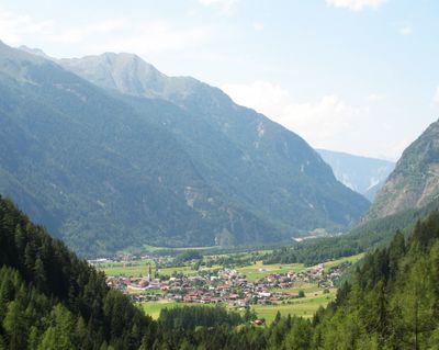
Umhausen, municipality in Imst District, Tyrol, Austria
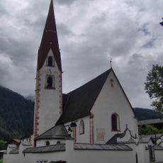
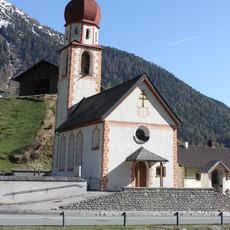
Umhausen is a small municipality in the Oetz Valley in Austrian Tirol, composed of several scattered villages and settlements surrounded by steep mountains. The place spreads across valleys and slopes, connecting traditional alpine villages with facilities for visitors seeking outdoor recreation.
The place is considered one of the oldest settlements in the Oetz Valley and was historically shaped by flax cultivation and mountain farming. Over time, the economic foundation shifted toward tourism and health services, while maintaining connections to older ways of life.
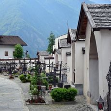
The place is shaped by a long tradition of mountain living, visible in how the old houses and farms remain at the heart of daily life here. Local families still practice seasonal rhythms tied to the land, and visitors can observe this connection when walking through the scattered villages and farmsteads.
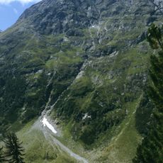
The place is easy to reach by car or regular bus service and offers a range of lodging options from simple inns to modern hotels. The area is suitable for visiting year-round, with summer favoring hiking and winter offering skiing and sledding opportunities.
The famous Otzi, a 5000-year-old mummy discovered in the nearby Alps, is commemorated at an outdoor archaeological museum featuring reconstructed stone-age houses and tools. Visitors can explore this ancient discovery and understand what daily life looked like thousands of years ago in this same valley.
The community of curious travelers
AroundUs brings together thousands of curated places, local tips, and hidden gems, enriched daily by 60,000 contributors worldwide.