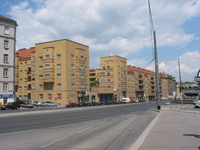
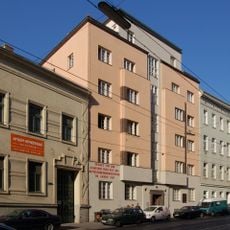
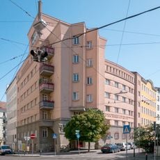
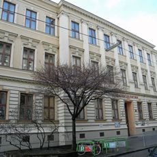
Ditteshof, Protected residential complex in Döbling, Austria
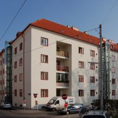
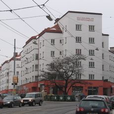
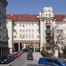
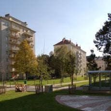
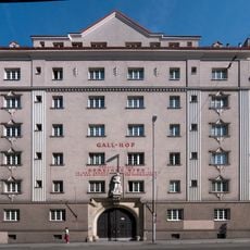
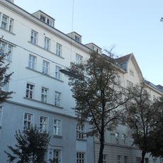
Ditteshof is a residential complex comprising 279 apartments arranged around a central courtyard with alternating tower buildings and cubic structures extending along Heiligenstädter Straße. The complex contains community facilities such as shops, a kindergarten, bathing facilities, and a festive hall serving the daily needs of residents.
Built between 1928 and 1929 by architect Arnold Karplus, the complex was named after German educational reformer Friedrich Dittes. Its design reflects the architectural style of interwar Vienna and embodies the social housing ideals of that era.
The courtyard displays a 1932 relief by Georg Ehrlich showing two embracing children, commemorating a solidarity action where residents housed children from homeless families. This artwork reflects the social unity that shaped the founding of this residential complex.
The site is freely accessible and the courtyard can be visited at any time to view the architecture and artworks. The best time to visit is during daylight hours when the buildings and artistic details are clearly visible.
The entrance facade features a distinctive portrait relief of Friedrich Dittes created by sculptor Anton Endstorfer in 1932, marking the identity of this heritage-protected building. This portrait is a rare example of honoring an educator through architectural artwork in Viennese residential architecture.
The community of curious travelers
AroundUs brings together thousands of curated places, local tips, and hidden gems, enriched daily by 60,000 contributors worldwide.