Döbling, Administrative district in Vienna, Austria.
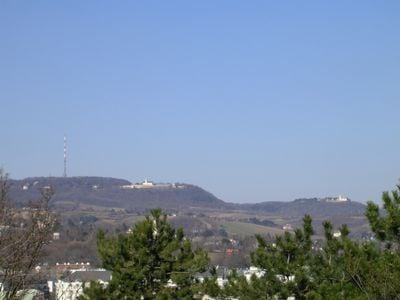
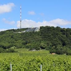
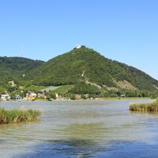
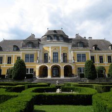
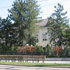
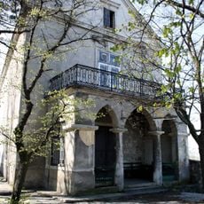
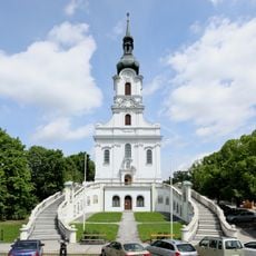
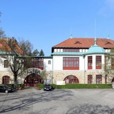
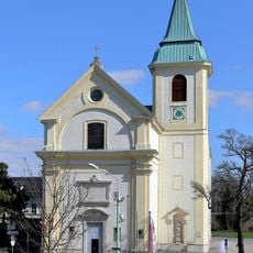
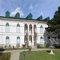
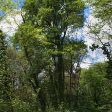
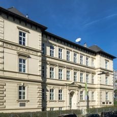
Döbling is Vienna's 19th district, stretching from the Danube northward toward the forested hills, and mixes residential streets with active vineyards and parks. The neighborhood features buildings from various periods, winding lanes, and green spaces that create a more relaxed feel compared to central Vienna.
The district's first documented reference dates to 1114 as 'de Teopilic', with evidence of Roman settlements visible in Heiligenstadt through archaeological remains. Urban growth accelerated in the 20th century, particularly with the construction of large residential complexes for the city's expanding population.
Karl-Marx-Hof is a striking residential complex from the early 20th century that shaped social housing in Vienna. Visitors notice its distinctive curved brick architecture and inner courtyards that give the building a unique character within the neighborhood.
The district connects easily to downtown Vienna via the U4 metro line and several tram routes, especially the D line that runs through multiple neighborhoods. The area is most pleasant to explore during warmer months when the wine taverns and green spaces are most active.
Despite its urban location, the district maintains active vineyards and winemaking, with local producers operating within its boundaries. Visitors can sample wines directly at traditional Heurigen taverns, a rural tradition that continues in this city setting in a way many overlook.
The community of curious travelers
AroundUs brings together thousands of curated places, local tips, and hidden gems, enriched daily by 60,000 contributors worldwide.