
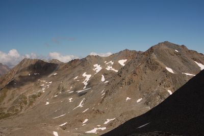
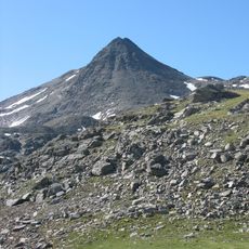
Gridenkarköpfe, mountain in the Schober Group at the border Carinthia / Tyrol
Location: Heiligenblut
Location: Kals am Großglockner
Elevation above the sea: 3,031 m
GPS coordinates: 47.00274,12.73347
Latest update: March 17, 2025 20:10
Böses Weibl
986 m
Glödis
4.7 km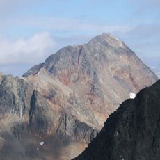
Roter Knopf
2.7 km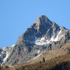
Keeskopf
6.2 km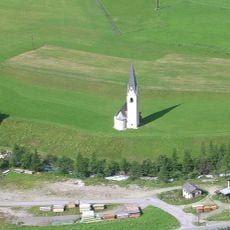
Filialkirche Großdorf
6.8 km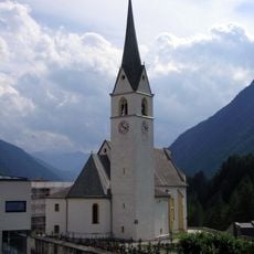
Pfarrkirche hl. Rupert, Kals am Großglockner
6.8 km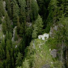
Kirchenruine St. Peter
6.7 km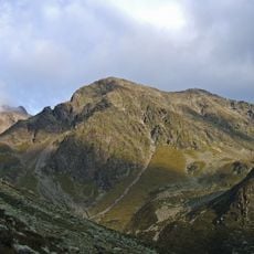
Debantgrat
6 km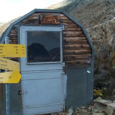
Gernot-Röhr-Biwak
379 m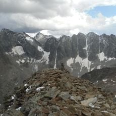
Großer Hornkopf
5.2 km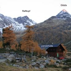
Ralfkopf
5.3 km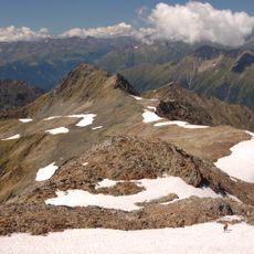
Tschadinhorn
2.2 km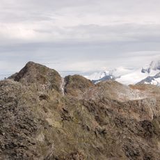
Ganot
5.3 km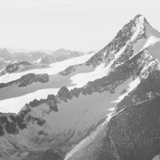
Blaue Köpfe
6.8 km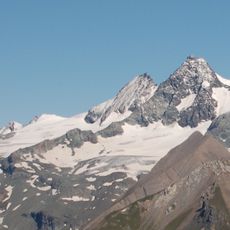
Lange Wand
5.8 km
Südliche Talleitenspitze
3.8 km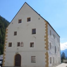
Widum Kals
6.7 km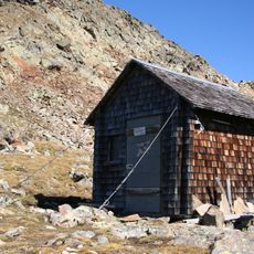
Gößnitzkopf-Biwak
4.7 km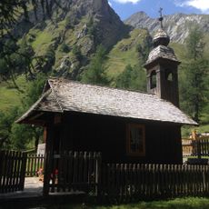
Ködnitzkirchl
4.3 km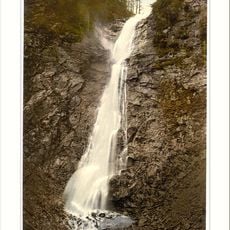
Leiterfall
6.7 km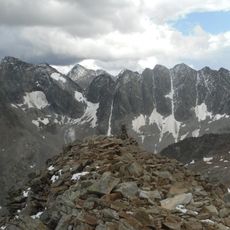
Klammerköpfe
6.4 km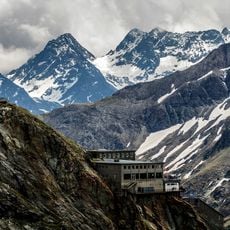
Seekampkees
5.1 km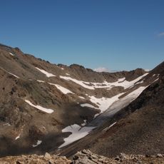
Peischlachkesselkees
506 m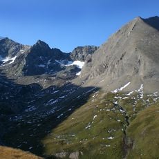
Hohenwartkees
6.9 km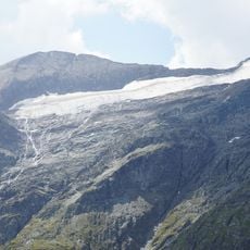
Schwerteckkees
6.2 km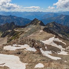
Kleewand
1.8 km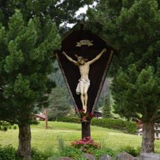
Wegkreuz
6.9 km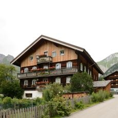
Bauernhaus Burg 4
7 kmReviews
Visited this place? Tap the stars to rate it and share your experience / photos with the community! Try now! You can cancel it anytime.
Discover hidden gems everywhere you go!
From secret cafés to breathtaking viewpoints, skip the crowded tourist spots and find places that match your style. Our app makes it easy with voice search, smart filtering, route optimization, and insider tips from travelers worldwide. Download now for the complete mobile experience.

A unique approach to discovering new places❞
— Le Figaro
All the places worth exploring❞
— France Info
A tailor-made excursion in just a few clicks❞
— 20 Minutes