Silvretta Hochalpenstraße, road in Tyrol and Vorarlberg, Austria
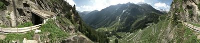
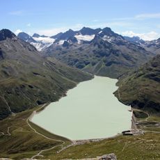
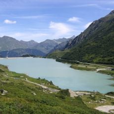
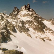
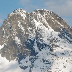
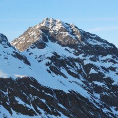
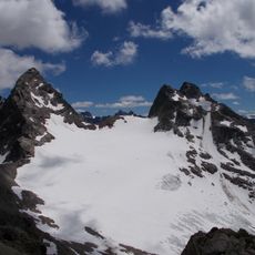
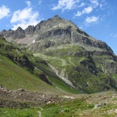
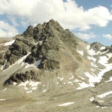
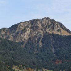
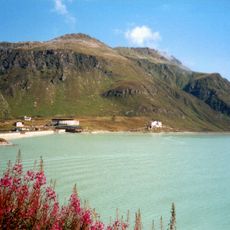
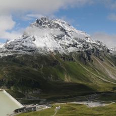
The Silvretta Hochalpenstraße is a mountain road through the Austrian Alps that stretches about 34 kilometers from Partenen to Galtür, featuring 34 hairpin bends and climbing to the highest point at Bielerhöhe at over 2,000 meters. The route passes by the Vermunt and Silvretta lakes and includes steep sections with gradients reaching up to 14 percent on the Vorarlberg side.
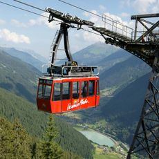
Construction of the road began in the late 1920s to provide access to a hydroelectric power plant, with the first sections completed by 1938. The road opened to the public in 1954 and was upgraded to two lanes by the early 1960s.
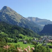
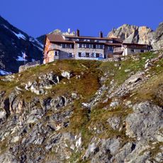
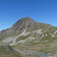
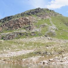
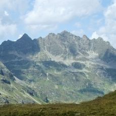
The pass is named Bielerhöhe and marks the border between Vorarlberg and Tyrol. Visitors experience the site by pausing to view the surrounding peaks and lakes, making it a gathering point for those seeking mountain scenery.
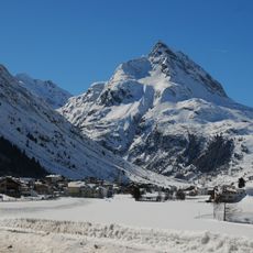
The road is passable mainly in the summer months from June to September and closes during winter, so visitors should check conditions before traveling. The route requires attention on narrow curves, and it is recommended to travel early on weekends or during peak season to avoid congestion.
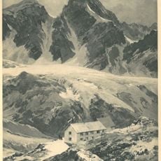
The reservoir system at the highest point features a special design with two dams that collect water from two different river systems and direct it to turbines for power generation. This shows how engineers cleverly used the mountain's natural resources to create electricity.
The community of curious travelers
AroundUs brings together thousands of curated places, local tips, and hidden gems, enriched daily by 60,000 contributors worldwide.