
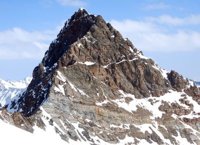
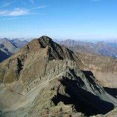
Larstigspitze, mountain in the Stubai Alps in Tyrol
Location: Umhausen
Elevation above the sea: 3,172 m
GPS coordinates: 47.10883,11.03324
Latest update: March 3, 2025 00:19
Zischgeles
5.3 km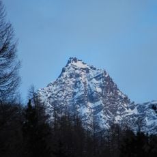
Strahlkogel
1 km
Schöntalspitze
4.9 km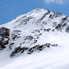
Breiter Grießkogel
1.2 km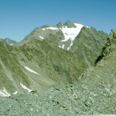
Hoher Seeblaskogel
3.5 km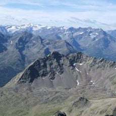
Gänsekragen
2.1 km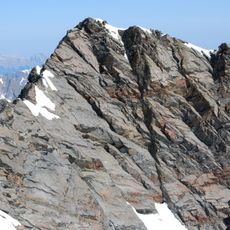
Gleirscher Fernerkogel
2.4 km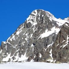
Winnebacher Weißkogel
2.2 km
Längentaler Weißer Kogel
5.9 km
Grubenwand
4 km
Gleirscher Rosskogel
5.5 km
Loretokapelle Au, Längenfeld
6.1 km
Kaplaneikirche Mariahilf, Gries im Sulztal
4.2 km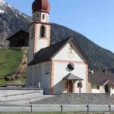
Kaplaneikirche Niederthai
5.5 km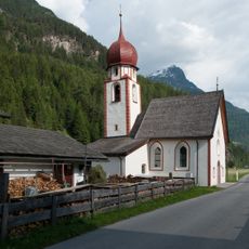
Kapelle Mariahilf in Dorf
6 km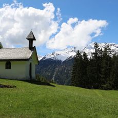
Kapelle am Wiesle, Längenfeld
5.6 km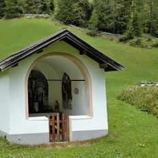
Stiftskapelle in Gries
4.3 km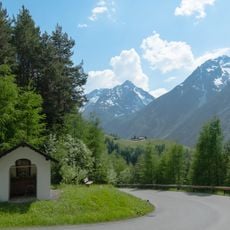
Obere Kapelle in Unterlängenfeld
5.6 km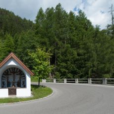
Trujen-Kapelle in Unterlängenfeld
5.9 km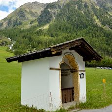
Wegkapelle hl. Johannes Nepomuk in Gries
4.4 km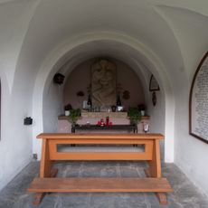
Nösslachkapelle/Kraftfahrerkapelle
6 km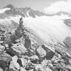
Bachfallenferner
5.2 km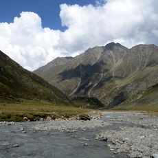
Geißlehnkogel
6 km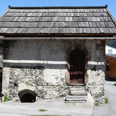
Kornkasten, Längenfeld
6.1 km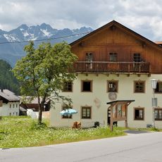
Widum/Ahornhof
4.3 km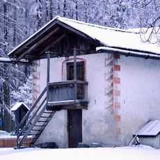
Kornkasten und Backofen
6.1 km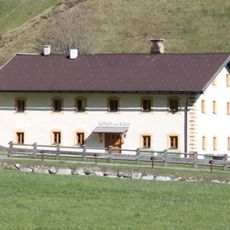
Kaplaneiwidum Niederthai
5.5 km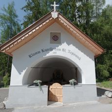
Klammkapelle
5.9 kmReviews
Visited this place? Tap the stars to rate it and share your experience / photos with the community! Try now! You can cancel it anytime.
Discover hidden gems everywhere you go!
From secret cafés to breathtaking viewpoints, skip the crowded tourist spots and find places that match your style. Our app makes it easy with voice search, smart filtering, route optimization, and insider tips from travelers worldwide. Download now for the complete mobile experience.

A unique approach to discovering new places❞
— Le Figaro
All the places worth exploring❞
— France Info
A tailor-made excursion in just a few clicks❞
— 20 Minutes