
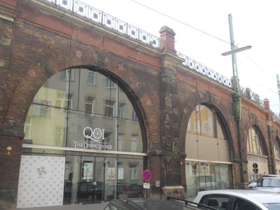
Stadtbahn – Teilbereich Oberdöbling, Denkmalgeschütztes Objekt in Döbling (116961)
Location: Döbling
Address: Heiligenstädter Straße 29
GPS coordinates: 48.23406,16.35571
Latest update: March 15, 2025 20:28
Universitätszentrum Althanstraße
406 m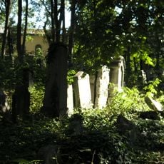
Jewish cemetery in Währing
340 m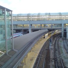
Wien Spittelau railway station
241 m
Ditteshof
30 m
Bundesamtsgebäude Josef-Holaubek-Platz
139 m
Würstelstand LEO
260 m
Klose-Hof
326 m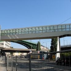
Skywalk Spittelau
227 m
Kopenhagen-Hof
374 m
Pestalozzi-Hof
327 m
Arthur-Schnitzler-Hof
270 m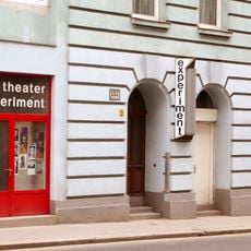
Experiment am Liechtenwerd
209 m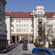
Professor-Jodl-Hof
181 m
Kunst am Bau im Kopenhagen-Hof
374 m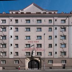
Gall-Hof
277 m
Wien 19, Hardtgasse 25
409 m
Julius-Tandler-Heim
332 m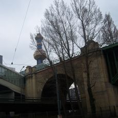
Ehem. Stadtbahn – Teilbereich der heutigen U6 in der KG Alsergrund (Heiligenstädter Ast und Teil des Verbindungsbogens)
197 m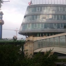
Skyline Spittelau
250 m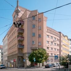
Döblinger Gürtel 10
155 m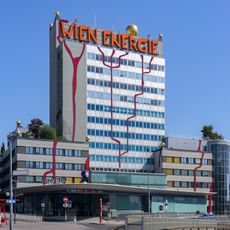
Müllverbrennungsanlage Spittelau - administration building
334 m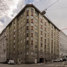
Wohnhausanlage Liechtensteinstraße 137
408 m
Miethaus »Blaashof«
395 m
Wohnhausanlage Schegargasse 17-19
294 m
Herrenhaus-Kellerei
412 m
Schule
225 m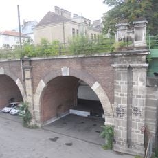
Ehem. Stadtbahn – Streckenabschnitt Nußdorfer Straße – Heiligenstadt (KG Heiligenstadt)
164 m
Wohnhausanlage der Städtischen Straßenbahnen, jetzt der Gemeinde Wien
98 mReviews
Visited this place? Tap the stars to rate it and share your experience / photos with the community! Try now! You can cancel it anytime.
Discover hidden gems everywhere you go!
From secret cafés to breathtaking viewpoints, skip the crowded tourist spots and find places that match your style. Our app makes it easy with voice search, smart filtering, route optimization, and insider tips from travelers worldwide. Download now for the complete mobile experience.

A unique approach to discovering new places❞
— Le Figaro
All the places worth exploring❞
— France Info
A tailor-made excursion in just a few clicks❞
— 20 Minutes