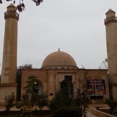
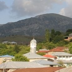
Kurdamir District, Administrative district in Central Aran Economic Region, Azerbaijan.
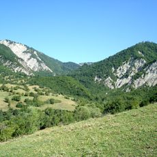
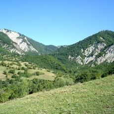
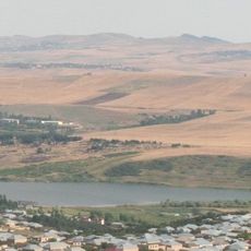
Kurdamir District is an administrative area in the central Aran region that spreads across flat lowland terrain with few river systems. The main waterways are the Girdymanchay and Aghsu rivers, which flow through the lower sections of the landscape.
The district was established in 1930 as an administrative center for the Aran economic region during the Azerbaijani Soviet period. This creation was part of a larger restructuring of the regional administrative system.
The name Kurdamir comes from the local Shirvan dialect, where 'Kur' means brave and 'Damir' refers to a leader of seven settlements. This naming reflects the region's historical roots in local traditions.
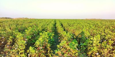
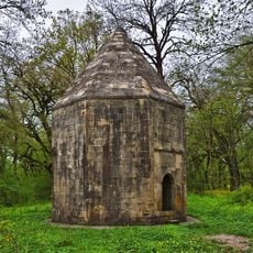
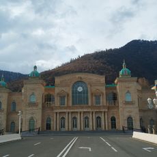
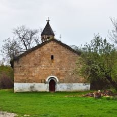
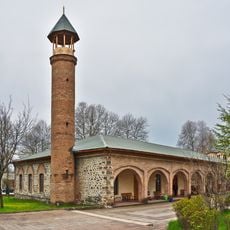
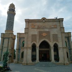
The area is mainly agricultural land where most economic activity centers on farming operations. Visitors should expect to see traditional villages and agricultural landscapes that define the region's character.
A natural hot spring emerged in 1971 near Mollakand village and produces very hot water. This unusual natural phenomenon made the location a point of geological interest in the area.
Location: Azerbaijan
Inception: August 8, 1930
Capital city: Kurdamir
Website: http://kurdemir-ih.gov.az
GPS coordinates: 40.34000,48.16000
Latest update: December 10, 2025 15:58
Shamakhy Astrophysical Observatory
61.5 km
Babadağ
76.7 km
Gabala City Stadium
76.7 km
Friday Mosque of Shamakhi
51.9 km
Shahdag National Park
65.5 km
Pirgulu State Reserve
58.6 km
Diri Baba Mausoleum
69.6 km
Aghgol National Park
56.9 km
Ismailli State Reserve
69.9 km
Yeddi Gunbaz mausoleum
51 km
Kalakhana Mausoleums
46.6 km
Church of Saint Elisæus
79.1 km
Shrine of the Prophet Jarjis
74.6 km
Pir Huseyn Khanqah
72.9 km
2019 Summer WikiCamp Azerbaijan
52.5 km
Hazra mauzoleums
65.9 km
Heydar Aliyev Congress Center
76.2 km
Tsilin church
77.5 km
Pir Mardakan Khanqah
39.5 km
Agsu City Stadium
32.3 km
Zavaro mosque
59.1 km
Lahij Museum of Local History
59.3 km
Ismayilli State Nature Reserve
69.9 km
Zogalavachay reservoir
50.9 km
Ნიუიდინის ძეგლები
43.6 km
Ջումա մզկիթ (Գաբալա)
76.2 km
يني مسجد (قبالا)
76.2 km
Qabala Cable Car
77.8 kmVisited this place? Tap the stars to rate it and share your experience / photos with the community! Try now! You can cancel it anytime.
Discover hidden gems everywhere you go!
From secret cafés to breathtaking viewpoints, skip the crowded tourist spots and find places that match your style. Our app makes it easy with voice search, smart filtering, route optimization, and insider tips from travelers worldwide. Download now for the complete mobile experience.
A unique approach to discovering new places❞
— Le Figaro
All the places worth exploring❞
— France Info
A tailor-made excursion in just a few clicks❞
— 20 Minutes