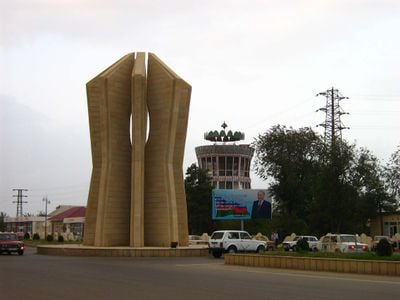
Jalilabad District, Administrative district in southeastern Azerbaijan.
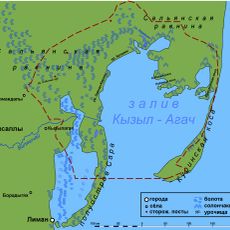
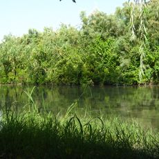
Jalilabad District is an administrative region in southeastern Azerbaijan characterized by flat terrain and scattered settlements across its expanse. Agricultural land dominates the landscape, supporting production of multiple crops for local use and trade.
The district was established in 1930 under a different administrative name before being renamed in 1967 to honor a notable literary figure. This change reflected a shift in how the region was recognized and valued.
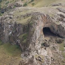
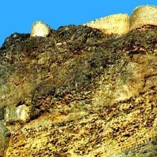
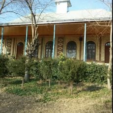
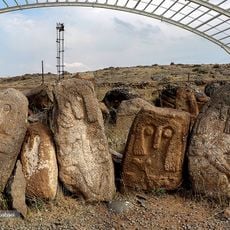
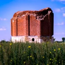
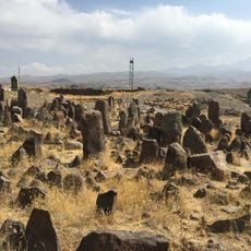
The scattered archaeological remains throughout the territory tell the story of human settlement across this southeastern region. Walking through the district, one can encounter these traces of earlier times.
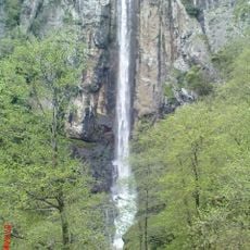
The flat terrain makes travel and movement across the region straightforward and accessible. Visitors should prepare for warm weather and bring adequate protection from the sun.
Oil and gas reserves lie beneath the region's surface, contributing to its economic importance beyond agriculture. These energy resources coexist with deposits of building materials that serve local construction needs.
Location: Azerbaijan
Inception: August 8, 1930
Capital city: Jalilabad
Elevation above the sea: 18 m
Website: http://celilabad-ih.gov.az
GPS coordinates: 39.20000,48.30000
Latest update: December 7, 2025 19:24
Kyzylagach National Park
62.7 km
Hirkan National Park
72.7 km
Buzeyir Cave
53.3 km
Shirvan State Nature Reserve
84 km
Shirvan National Park
72.7 km
Laton Waterfall
104.7 km
Allar Cave
45.1 km
Jameh Mosque of Germi
27.4 km
Shrine of the Prophet Jarjis
87.9 km
Qahqaheh Castle
82.1 km
Sheykh Babi Yagub Mausoleum
85.2 km
Alikomektepe
18.8 km
Ahmadalilar Mausoleum
86.8 km
Zindan Fortress
69.4 km
Big Bazar Mosque
68.8 km
Kichik Bazar Mosque
68 km
Göytəpə kilsəsi
27.3 km
Amin al-Din Jebrail Mausoleum
101.5 km
Lankaran Lighthouse
68.7 km
Bar Bar Castle
89 km
Джума-мечеть (Сальян)
73.7 km
Qasımlı kənd məscidi
43.6 km
Kohneh Qal'eh, Meshginshahr
80.2 km
Shahar Yeri
79.3 km
پیست اسکی روی چمن جنگل فندقلوی نمین
87.6 km
Shater Tower
102.5 km
محوطه شهریری و مکتب اوشاقلاری
79.3 km
Astara Port
101.6 kmVisited this place? Tap the stars to rate it and share your experience / photos with the community! Try now! You can cancel it anytime.
Discover hidden gems everywhere you go!
From secret cafés to breathtaking viewpoints, skip the crowded tourist spots and find places that match your style. Our app makes it easy with voice search, smart filtering, route optimization, and insider tips from travelers worldwide. Download now for the complete mobile experience.
A unique approach to discovering new places❞
— Le Figaro
All the places worth exploring❞
— France Info
A tailor-made excursion in just a few clicks❞
— 20 Minutes