Chest opened
+${chestReward.xp} XP
Explorer
NOUVEAU ×${chestReward.collectible.quantity}
tapez pour fermer

See the monuments around you in AR Open chests in the app

Around Us is built for your phone — point your camera at the streets and discover the monuments and places around you in augmented reality. Around Us is built for your phone — chests unlock when you walk, explore and capture nearby places.

Enable Location

We need your location to show you interesting places around you

Discover nearby places

Find interesting locations and hidden gems around you

Precise directions

Get accurate directions and distances to places

Your location is never shared with other users. It's only used when you tap the location button.

Goražde

Log in to your account

Start exploring — it's free

Trusted by 86,309 travelers worldwide

Continue with Google
Continue with Apple
or

We will send you a code to connect

By continuing, you accept our Terms and Conditions and our Privacy Policy

Check your inbox

We've sent a pincode in your inbox. Please enter the code below.

Goražde
Discussion Reviews 2 Photos
27.5k Popularity

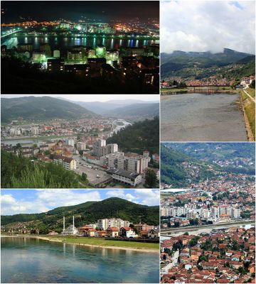
Goražde, Administrative town in eastern Bosnia and Herzegovina.

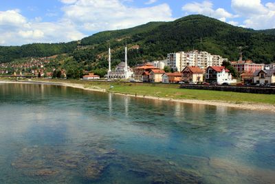
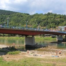
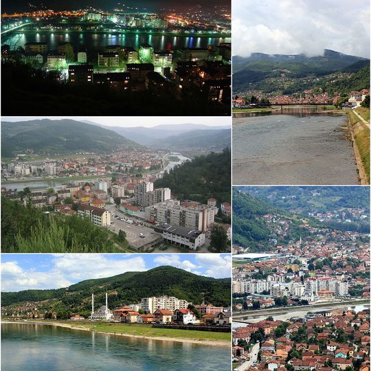
Goražde is a town that stretches along both sides of the Drina and sits in a valley in eastern Bosnia. The settlement pattern follows the river, with houses and buildings spread across both banks.

The town is first documented in 1379 as a trading settlement in medieval Bosnia. Later, under Ottoman rule, it became an important junction for trade routes connecting the region.

The town became a center of printing and learning from the 16th century onward in the region. This role shaped how locals saw their community as a place of knowledge and exchange.

The town is well connected to surrounding areas by road, and there are regular bus services to larger cities nearby. Visitors should expect some hilly terrain along the river paths and should wear proper footwear.

The town was a center for early book production, with one of the region's first printing operations starting in the early 16th century. This legacy makes it a noteworthy place in the history of publishing in southeastern Europe.

The community of curious travelers

AroundUs brings together thousands of curated places, local tips, and hidden gems, enriched daily by 60,000 contributors worldwide.
Start exploring
Location
Elevation above the sea
345 m
GPS coordinates
43.66667,18.97778
Latest update
September 12, 2026 22:24
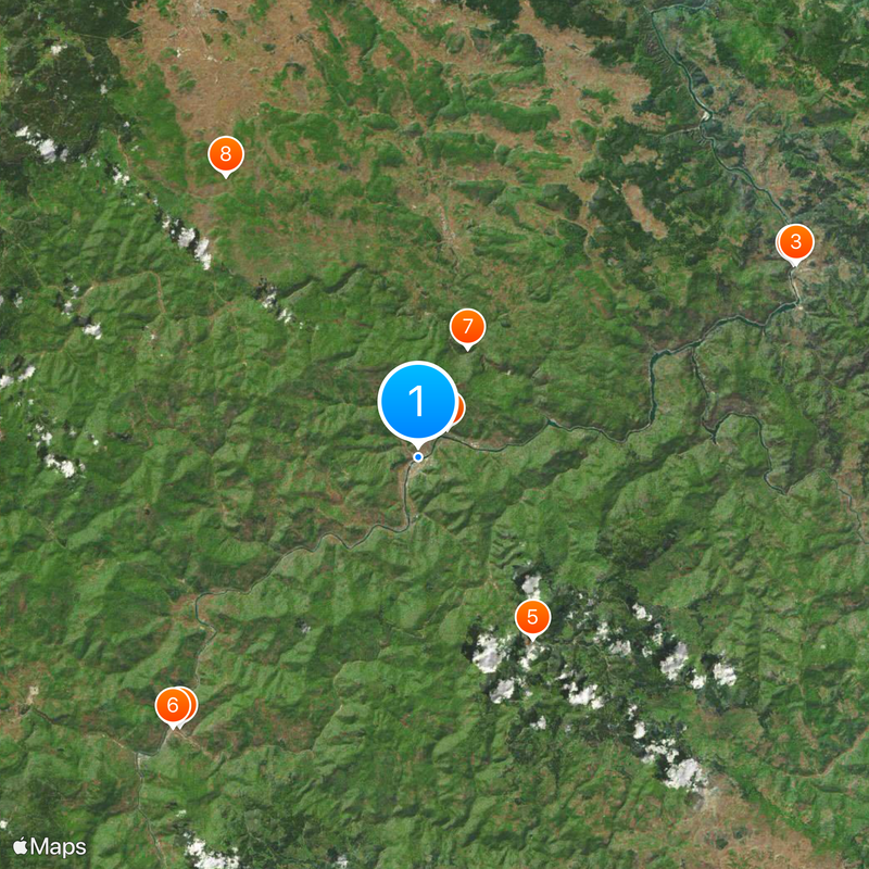
Around this place
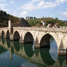
Mehmed Paša Sokolović Bridge
Bosnia and Herzegovina

Mehmed Paša Sokolović Bridge

17.5 mi
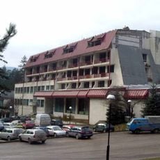
Vilina Vlas
Bosnia and Herzegovina

Vilina Vlas

17.6 mi
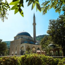
Aladža mosque
Bosnia and Herzegovina

Aladža mosque

14.9 mi
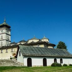
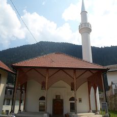
Assumption of Mary Monastery, Čajniče
Bosnia and Herzegovina

Assumption of Mary Monastery, Čajniče

8.9 mi
Mehmed Pasha Kukavica Mosque
Bosnia and Herzegovina

Mehmed Pasha Kukavica Mosque

15.1 mi
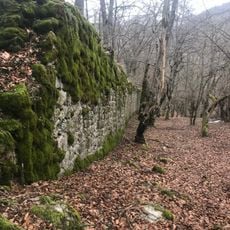
Borač Castle
Bosnia and Herzegovina

Borač Castle

5 mi
Ozerkovići Monastery
Bosnia and Herzegovina

Ozerkovići Monastery

14.1 mi
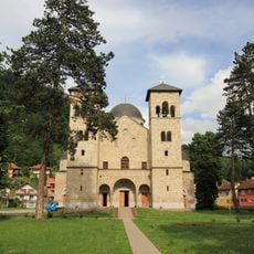
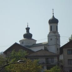
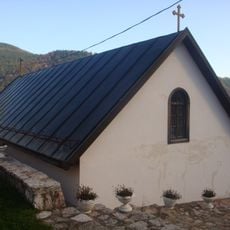
Church of Saint George, Sopotnica
Bosnia and Herzegovina

Church of Saint George, Sopotnica

1.7 mi
Višegradsko Lake
Bosnia and Herzegovina

Višegradsko Lake

15.8 mi
St Sava's Church, Foča
Bosnia and Herzegovina

St Sava's Church, Foča

14.9 mi
Museum of Old Herzegovina
Bosnia and Herzegovina

Museum of Old Herzegovina

15 mi
Pavlovac Fortress
Bosnia and Herzegovina

Pavlovac Fortress

11.6 mi
Sand pyramids near Foča
Bosnia and Herzegovina

Sand pyramids near Foča

17.5 mi
Govještica
Bosnia and Herzegovina

Govještica

8.5 mi
Црква Рођења Пресвете Богородице у Вишеграду
Serbia

Црква Рођења Пресвете Богородице у Вишеграду

16.5 mi
Saint Nicholas church in Foča
Bosnia and Herzegovina

Saint Nicholas church in Foča

14.6 mi
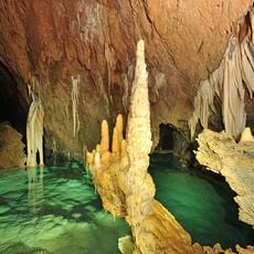
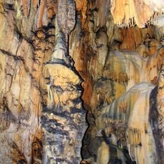
Banja Stijena cave
Bosnia and Herzegovina

Banja Stijena cave

8.7 mi
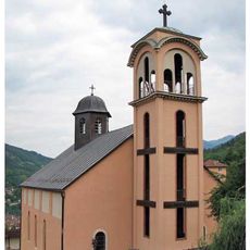
Church of the Holy Trinity (Rogatica)
Bosnia and Herzegovina

Church of the Holy Trinity (Rogatica)

9.1 mi
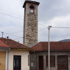
Sahat kula in Foča
Bosnia and Herzegovina

Sahat kula in Foča

15 mi
Prince Karl Iron Bridge
Bosnia and Herzegovina

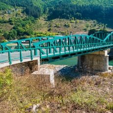
Prince Karl Iron Bridge

14.4 mi
Jewish cemetery in Rogatica
Bosnia and Herzegovina

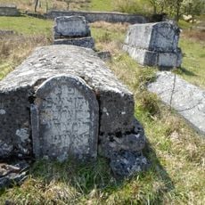
Jewish cemetery in Rogatica

10.3 mi
Borak necropolis
Bosnia and Herzegovina

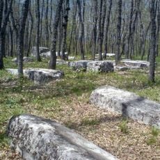
Borak necropolis

12.7 mi
Mir Muhamed mosque
Bosnia and Herzegovina

Mir Muhamed mosque

8.5 mi
Bereški vodopad
Bosnia and Herzegovina

Bereški vodopad

13.4 mi
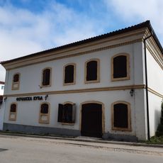
Milan Hadživuković house
Bosnia and Herzegovina

Milan Hadživuković house

15.1 mi
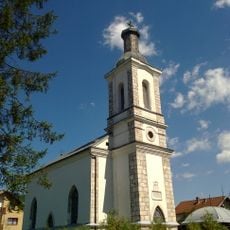
Église de l'Ascension de Čajniče
Bosnia and Herzegovina

Église de l'Ascension de Čajniče

8.9 mi
Železniční most v Ustiprači
Bosnia and Herzegovina

Železniční most v Ustiprači

5.7 mi
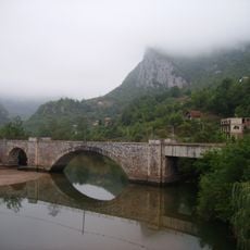
Alija Izetbegović bridge
Bosnia and Herzegovina

Alija Izetbegović bridge

0.2 mi
Show the full map
Reviews
Share your experience

No review yet

Discussions
Start a discussion...

No discussion yet

« Goražde - Administrative town in eastern Bosnia and Herzegovina » is provided by Around Us (aroundus.com). Images and texts are derived from Wikimedia project under a Creative Commons license. You are allowed to copy, distribute, and modify copies of this page, under the conditions set by the license, as long as this note is clearly visible.

Discover hidden gems everywhere you go!

From secret cafés to breathtaking viewpoints, skip the crowded tourist spots and find places that match your style. Our app makes it easy with voice search, smart filtering, route optimization, and insider tips from travelers worldwide. Download now for the complete mobile experience.
Around Us App Screenshot

A unique approach to discovering new places

Le Figaro

All the places worth exploring

France Info

A tailor-made excursion in just a few clicks

20 Minutes

Around Us
Travel Guide & Maps
Download

Send to your phone

QR Code
1

Open the camera app on your mobile.

2

Point at the QR code with your camera. A notification will appear.

3

Tap the notification to open the link.