Enable Location

We need your location to show you interesting places around you

Discover nearby places

Find interesting locations and hidden gems around you

Precise directions

Get accurate directions and distances to places

Your location is never shared with other users. It's only used when you tap the location button.

Istočno Sarajevo

Log in to your account

Start exploring — it's free

Trusted by 62,196 travelers worldwide

Continue with Google
Continue with Apple
or

We will send you a code to connect

By continuing, you accept our Terms and Conditions and our Privacy Policy

Check your inbox

We've sent a pincode in your inbox. Please enter the code below.

Istočno Sarajevo

Istočno Sarajevo, Administrative center in Republika Srpska, Bosnia and Herzegovina.

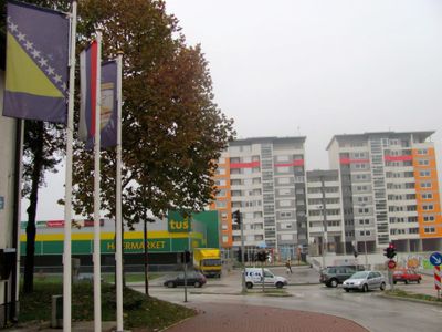
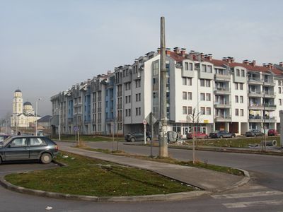
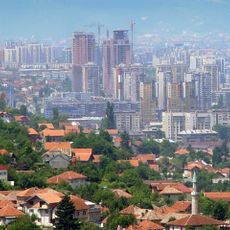
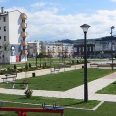
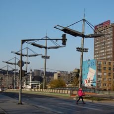
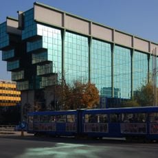
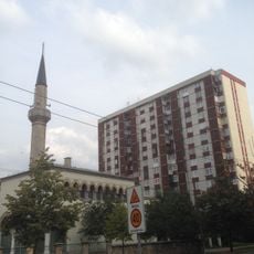
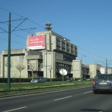
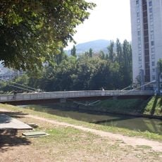
Istočno Sarajevo is a city and administrative center of Republika Srpska in Bosnia and Herzegovina, sitting at about 550 meters elevation across several municipalities. It includes areas like Istočna Ilidža and Istočno Novo Sarajevo with a mix of residential neighborhoods, commercial zones, and open spaces.

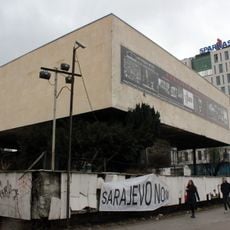
After the Dayton Agreement in 1995, the city emerged as a separate administrative entity within the newly formed political structure of Bosnia and Herzegovina. This division resulted from the earlier conflict and international efforts to establish peace in the region.

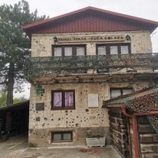
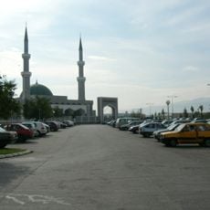
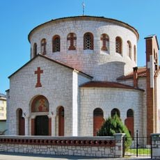
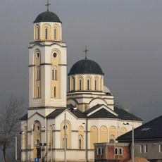
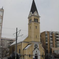
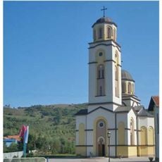
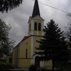
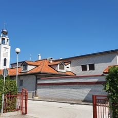
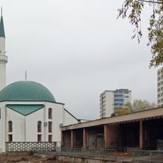
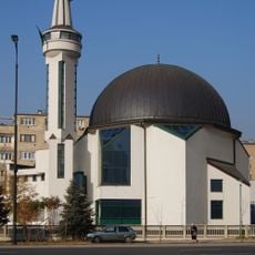
The city preserves Orthodox Christian traditions through its religious buildings and community gatherings that reflect local Serbian heritage. These spiritual and cultural practices shape daily life and how people come together.

The public transportation system connects all major districts through regular bus services, with direct routes to neighboring municipalities and central Sarajevo. The city is easy to explore on foot if you take time to visit the different quarters one by one.

The nearby Jahorina mountain range offers winter sports facilities that were used during the 1984 Winter Olympics and still operate today. These historical sports venues attract skiers and snowboarders from across the region.

The community of curious travelers

AroundUs brings together thousands of curated places, local tips, and hidden gems, enriched daily by 60,000 contributors worldwide.

Start exploring
Elevation above the sea
550 m
GPS coordinates
43.82611,18.35167
Latest update
December 20, 2025 11:49
Around this place
Sarajevo Tunnel
Bosnia and Herzegovina

Sarajevo Tunnel

1.4 km
Tunnel of Salvation
Bosnia and Herzegovina

Tunnel of Salvation

1.3 km
Bosmal City Center
Bosnia and Herzegovina

Bosmal City Center

2.9 km
King Fahd Mosque
Bosnia and Herzegovina

King Fahd Mosque

1.7 km
Vraca Memorial Park
Bosnia and Herzegovina

Vraca Memorial Park

4.2 km
Historical Museum of Bosnia and Herzegovina
Bosnia and Herzegovina

Historical Museum of Bosnia and Herzegovina

5.1 km
Church of the Holy Transfiguration
Bosnia and Herzegovina

Church of the Holy Transfiguration

4.4 km
Istiqlal Mosque
Bosnia and Herzegovina

Istiqlal Mosque

2.4 km
Velika aleja
Bosnia and Herzegovina

Velika aleja

4.8 km
Bosnia and Herzegovina

Azići

4 km
Saint Basil of Ostrog church (Istočno Sarajevo)
Bosnia and Herzegovina

Saint Basil of Ostrog church (Istočno Sarajevo)

610 m
Gavrilo Princip park
Bosnia and Herzegovina

Gavrilo Princip park

1 km
City Stadium SRC Slavija
Bosnia and Herzegovina

City Stadium SRC Slavija

1.3 km
Church of the Holy Trinity, the historic building
Bosnia and Herzegovina

Church of the Holy Trinity, the historic building

3.8 km
The bridge of the Malaysian-Bosnian and Herzegovinian friendship
Bosnia and Herzegovina

The bridge of the Malaysian-Bosnian and Herzegovinian friendship

3.1 km
Црква Вазнесења Господњег у Војковићима
Serbia

Црква Вазнесења Господњег у Војковићима

3.1 km
Church of the Assumption in Stup
Bosnia and Herzegovina

Church of the Assumption in Stup

3 km
Elektroprivreda BiH building
Bosnia and Herzegovina

Elektroprivreda BiH building

4 km
Carmelite Monastery in Stup
Bosnia and Herzegovina

Carmelite Monastery in Stup

4 km
East Sarajevo Children's Library
Bosnia and Herzegovina

East Sarajevo Children's Library

999 m
Hadži Idriz Mosque
Bosnia and Herzegovina

Hadži Idriz Mosque

3.5 km
Objects of the warehouse in the area of former industrial zone in Sarajevo
Bosnia and Herzegovina

Objects of the warehouse in the area of former industrial zone in Sarajevo

4.3 km
RTV Building
Bosnia and Herzegovina

RTV Building

2.4 km
Ars Aevi bridge
Bosnia and Herzegovina

Ars Aevi bridge

5 km
Oslobođenje
Bosnia and Herzegovina

Oslobođenje

2.3 km
Hamdije Čemerlića 2 (building)
Bosnia and Herzegovina

Hamdije Čemerlića 2 (building)

4.7 km
Ummu Arif Zabadne mosque
Bosnia and Herzegovina

Ummu Arif Zabadne mosque

4.1 km
Kuwait's Mosque
Bosnia and Herzegovina

Kuwait's Mosque

3.3 km
Show the full map
« Istočno Sarajevo - Administrative center in Republika Srpska, Bosnia and Herzegovina » is provided by Around Us (aroundus.com). Images and texts are derived from Wikimedia project under a Creative Commons license. You are allowed to copy, distribute, and modify copies of this page, under the conditions set by the license, as long as this note is clearly visible.

Discover hidden gems everywhere you go!

From secret cafés to breathtaking viewpoints, skip the crowded tourist spots and find places that match your style. Our app makes it easy with voice search, smart filtering, route optimization, and insider tips from travelers worldwide. Download now for the complete mobile experience.

Around Us App Screenshot

A unique approach to discovering new places

Le Figaro

All the places worth exploring

France Info

A tailor-made excursion in just a few clicks

20 Minutes

Around Us
Travel Guide & Maps
Download

Send to your phone

QR Code
1

Open the camera app on your mobile.

2

Point at the QR code with your camera. A notification will appear.

3

Tap the notification to open the link.