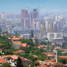
Ilidža, town in Bosnia and Herzegovina
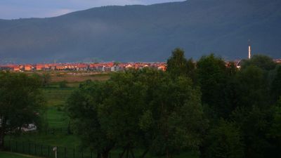
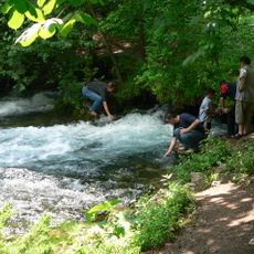
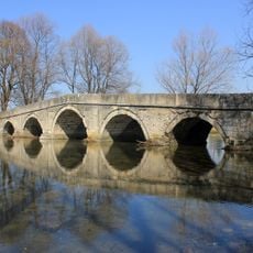
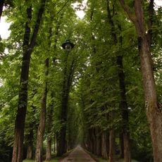
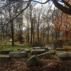
Ilidža is a municipality and locality west of Sarajevo, known for natural springs and historic buildings spanning several periods. The area is crossed by the Bosna river, whose source lies in the protected natural site of Vrelo Bosne, where clear ponds and fish pools are crisscrossed by wooden bridges.
Roman-era thermal springs attracted visitors in antiquity, but the area was developed as a spa resort during Austro-Hungarian rule in the 1800s. Hotels, villas, and a railway line were built, and in 1895 horse-drawn carriages arrived, establishing the location as a luxury destination.
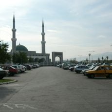
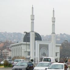
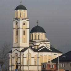
The name Ilidža comes from the Turkish word for medicine, reflecting its enduring role as a healing retreat. Walking through the area today reveals Arabic script alongside modern signs, showing how different cultural layers have shaped daily life here.
Ilidža is easily reached from central Sarajevo by tram or bus. Look for vehicles with 'Ilidža' displayed on the front, and purchase a ticket at a kiosk or from the driver, then validate it when boarding.
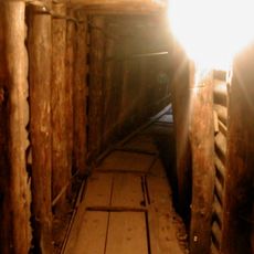
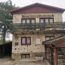
The Tunnel of Hope, stretching over 900 meters, was secretly built during the Sarajevo siege in the 1990s to bring supplies and people into the surrounded city. The Tunnel Museum documents this remarkable story and sits just a short walk from the tram stop.
The community of curious travelers
AroundUs brings together thousands of curated places, local tips, and hidden gems, enriched daily by 60,000 contributors worldwide.