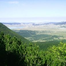
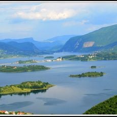
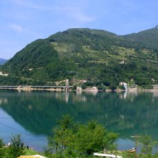
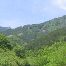
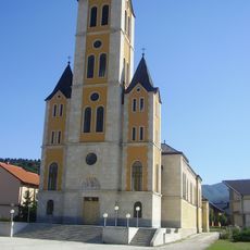
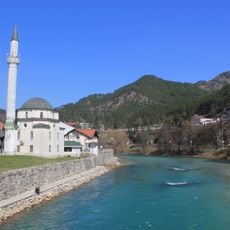
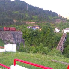
Jablanica Municipality, municipality of Bosnia and Herzegovina
Location: Herzegovina-Neretva Canton
Capital city: Jablanica
Shares border with: Prozor-Rama, City of Konjic, Mostar, Tomislavgrad Municipality
GPS coordinates: 43.65444,17.72111
Latest update: March 3, 2025 02:11
Blidinje Nature Park
17.8 km
Rama Lake
23.3 km
Armijska Ratna Komanda
22.2 km
Jablanica lake
11.5 km
Rođeni Stadium
32.6 km
Die Brücke in Jablanica
3.3 km
Stara Ćuprija
19.5 km
Stadion Pecara
32.3 km
Late antique basilica in Cim, the archaeological site
33.7 km
Franciscan monastery of Široki Brijeg
32.9 km
Drežnica Valley
14.3 km
Franciscan monastery Humac
32.9 km
Dugo polje
14.6 km
Pločno
14.8 km
Church of the Assumption of the Blessed Virgin Mary, Uskoplje
33 km
Tekija-Moschee in Konjic
19.4 km
Memorial Complex Neretva Battle
3 km
Dugopolje necropolis
14.3 km
Zelena glava
18.8 km
Šćit
22.6 km
Plocno
14.8 km
Église du Sacré-Cœur-de-Jésus de Donji Crnač
28.5 km
St. Elijah Church
14.4 km
Nécropole de Risovac
11.7 km
Église de la Nativité-de-la-Sainte-Vierge de Donja Britvica
29.6 km
Varda Meskita
19.2 km
Most Begića i Begovića
6.1 km
Franciscan monastery, the architectural ensemble
19.5 kmReviews
Visited this place? Tap the stars to rate it and share your experience / photos with the community! Try now! You can cancel it anytime.
Discover hidden gems everywhere you go!
From secret cafés to breathtaking viewpoints, skip the crowded tourist spots and find places that match your style. Our app makes it easy with voice search, smart filtering, route optimization, and insider tips from travelers worldwide. Download now for the complete mobile experience.
A unique approach to discovering new places❞
— Le Figaro
All the places worth exploring❞
— France Info
A tailor-made excursion in just a few clicks❞
— 20 Minutes