
Malinjak Pećine, Höhle in Bosnien und Herzegowina
Location: Federation of Bosnia and Herzegovina
GPS coordinates: 44.26500,16.57417
Latest update: March 5, 2025 13:34
Dinara Nature Park
36.7 km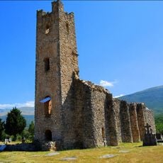
Church of Holy Salvation
34.5 km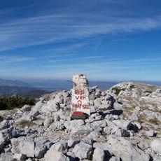
Sinjal
27.2 km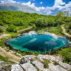
Veliko vrilo
34.1 km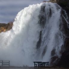
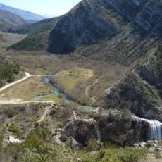
Krčić waterfall
36.7 km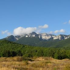
Troglav
35.3 km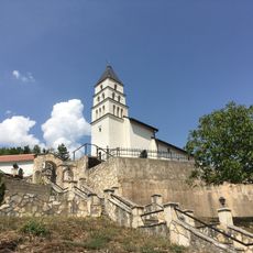
Golubić, Šibenik-Knin County
33.8 km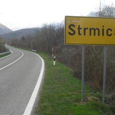
Strmica
27.6 km
Cetina
37.3 km
Glamoč field
33.6 km
Kovačić
36.8 km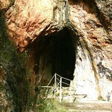
Tito’s Cave
19.7 km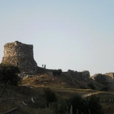
Glamoč Fortress
32.9 km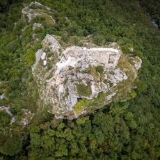
Sokograd Fortress
36.5 km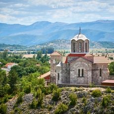
Church of the Ascension of the Lord
34.1 km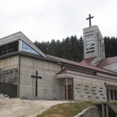
Church of Saint Elias, Glamoč
33.1 km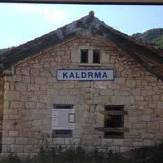
Kaldrma
31.1 km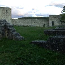
Fortress of Ključ
34.7 km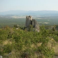
Glavaš – Dinarić Fortress
30.7 km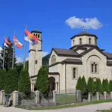
Saint Sava Church
19.5 km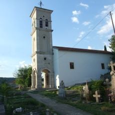
Kninsko Polje
36.7 km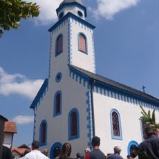
Saints Peter and Paul Orthodox Cathedral in Bosanski Petrovac
35.9 km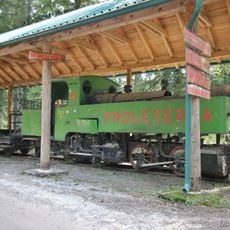
Tito’s train at Oštrelj
27.6 km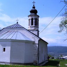
Erscheinungskirche Gerzovo
34.6 km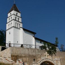
Црква Светог Архиђакона Стефана у Голубићу
33.6 km
Храм Силаска Светога духа у Врбици
31.6 km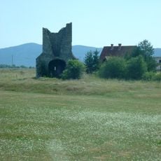
Crkva sv. Jurja u Koluniću
34.6 km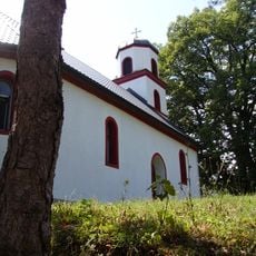
Mariä-Entschlafens-Kirche (Donji Vrbljani)
21.5 kmReviews
Visited this place? Tap the stars to rate it and share your experience / photos with the community! Try now! You can cancel it anytime.
Discover hidden gems everywhere you go!
From secret cafés to breathtaking viewpoints, skip the crowded tourist spots and find places that match your style. Our app makes it easy with voice search, smart filtering, route optimization, and insider tips from travelers worldwide. Download now for the complete mobile experience.

A unique approach to discovering new places❞
— Le Figaro
All the places worth exploring❞
— France Info
A tailor-made excursion in just a few clicks❞
— 20 Minutes