
Vranska Jama, Höhle in Bosnien und Herzegowina
Location: Republika Srpska
Elevation above the sea: 525 m
GPS coordinates: 44.34294,16.81097
Latest update: June 8, 2025 03:34
Glogovac monastery
23.3 km
Jajce Mithraeum
36.2 km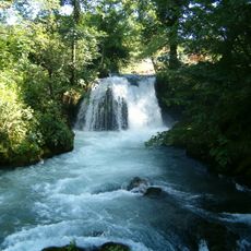
Janjske Otoke
28.2 km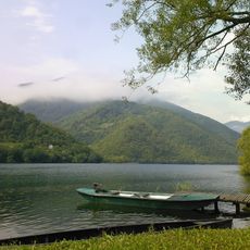
Pliva Lakes
33.3 km
Glamoč field
32.3 km
Temple of Saint Sava in Mrkonjić Grad
23 km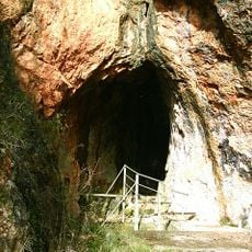
Tito’s Cave
34 km
Glamoč Fortress
33.6 km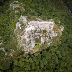
Sokograd Fortress
18.7 km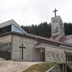
Church of Saint Elias, Glamoč
33.7 km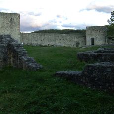
Fortress of Ključ
21.7 km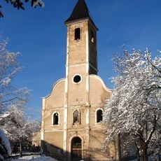
Saints Philip and James Church, Mrkonjić Grad
23.4 km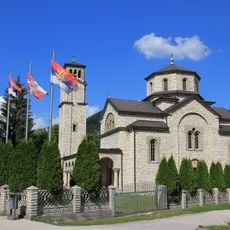
Saint Sava Church
34.1 km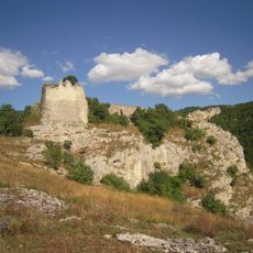
Bočac Fortress
33.2 km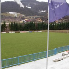
Gradski stadion Luke
23.1 km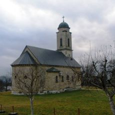
Црква Рођења Светог Јована Крститеља у Шипову
23 km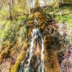
Skakavac Waterfall
20.7 km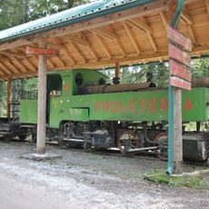
Tito’s train at Oštrelj
35.9 km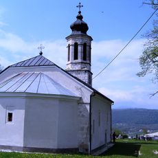
Erscheinungskirche Gerzovo
15.6 km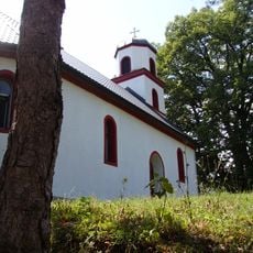
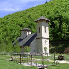
Mariä-Entschlafens-Kirche (Donji Vrbljani)
1.1 km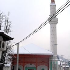
Mosquée Hamidija
23.3 km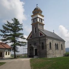
Crkva Klisina
31.8 km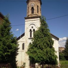
Église de la Nativité-de-la-Mère-de-Dieu de Mrkonjić Grad
23.3 km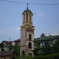
Église de la Mère-de-Dieu de Jajce
36 km
Musée du Conseil anti-fasciste d'État pour la libération nationale de la Bosnie-Herzégovine
23.4 km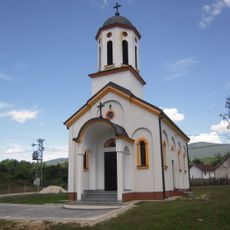
Église Saint-Pantaléon de Dabrac
31.7 km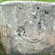
Stećak à Baljvine
34.3 km
Partizanski – Titov voz na Oštrelju, historijski spomenik
35.9 kmReviews
Visited this place? Tap the stars to rate it and share your experience / photos with the community! Try now! You can cancel it anytime.
Discover hidden gems everywhere you go!
From secret cafés to breathtaking viewpoints, skip the crowded tourist spots and find places that match your style. Our app makes it easy with voice search, smart filtering, route optimization, and insider tips from travelers worldwide. Download now for the complete mobile experience.

A unique approach to discovering new places❞
— Le Figaro
All the places worth exploring❞
— France Info
A tailor-made excursion in just a few clicks❞
— 20 Minutes