
Golovranjka, Höhle in Bosnien und Herzegowina
Location: Federation of Bosnia and Herzegovina
Elevation above the sea: 1,244 m
GPS coordinates: 43.31523,17.97822
Latest update: June 12, 2025 00:51
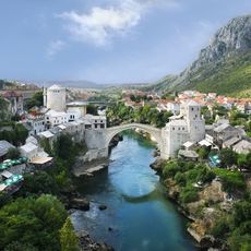
Stari Most
13.4 km
Blagaj, Mostar
9.3 km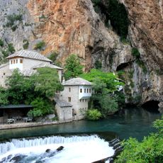
Vrelo Bune
8.8 km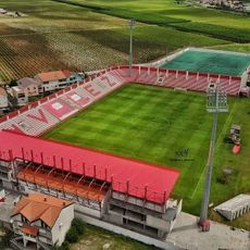
Rođeni Stadium
12.2 km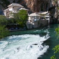
Blagaj tekke
8.9 km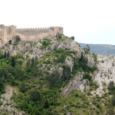
Blagaj Fortress
8.7 km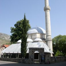
Karadzozbey Mosque
13.6 km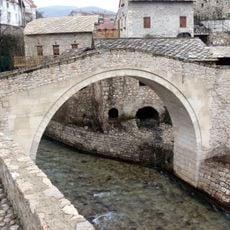
Kriva Ćuprija
13.6 km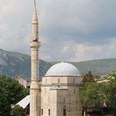
Koski Mehmed Pasha Mosque
13.5 km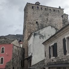
Museum of the Old Bridge
13.4 km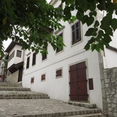
Herzegovina Museum
13.4 km
Most Mujagy Komadina
13.3 km
Црква Светог Вазнесења Христовог у Невесињу
12.7 km
Birthplace of Svetozar Ćorović
13.3 km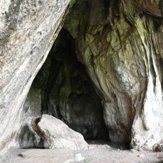
Zelena pećina, Blagaj
8.7 km
Sultan Suleyman mosque
9.4 km
Orthodox church of St. Basil of Ostrog, Blagaj
9.6 km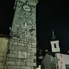
Clock Tower of Nevesinje
12.6 km
Emperor's Mosque in Nevesinje
12.5 km
Residential complex of the Velagić family in Blagaj
9.1 km
Mosquée de Hadži Kurt
13.6 km
Karađoz-beg bridge in Blagaj
9.4 km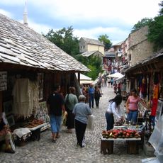
Čaršija de Kujundžiluk
13.4 km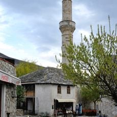
Hadži-Kurtova džamija
13.5 km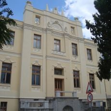
Palais archiépiscopal orthodoxe de Mostar
13.4 km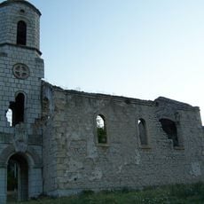
Église Saint-Basile-d'Ostrog de Blagaj
9.4 km
Église de la Sainte-Trinité de Blagaj
9.4 km
Mostar, the historic urban site
13.4 kmReviews
Visited this place? Tap the stars to rate it and share your experience / photos with the community! Try now! You can cancel it anytime.
Discover hidden gems everywhere you go!
From secret cafés to breathtaking viewpoints, skip the crowded tourist spots and find places that match your style. Our app makes it easy with voice search, smart filtering, route optimization, and insider tips from travelers worldwide. Download now for the complete mobile experience.

A unique approach to discovering new places❞
— Le Figaro
All the places worth exploring❞
— France Info
A tailor-made excursion in just a few clicks❞
— 20 Minutes