Enable Location

We need your location to show you interesting places around you

Discover nearby places

Find interesting locations and hidden gems around you

Precise directions

Get accurate directions and distances to places

Your location is never shared with other users. It's only used when you tap the location button.

Mymensingh District

Log in to your account

Start exploring — it's free

Trusted by 62,561 travelers worldwide

Continue with Google
Continue with Apple
or

We will send you a code to connect

By continuing, you accept our Terms and Conditions and our Privacy Policy

Check your inbox

We've sent a pincode in your inbox. Please enter the code below.

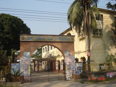
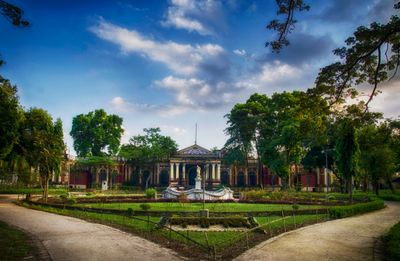
Mymensingh District, Administrative district in northern Bangladesh

Mymensingh District is located in northern Bangladesh and is traversed by several rivers, including the Old Brahmaputra flowing through its central region. The landscape consists of forests, valleys, and plains dotted with villages and two university towns.

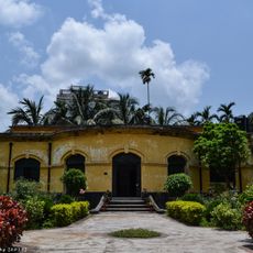
The area was originally part of the Kamarupa kingdom before being conquered by the Bengal Sultanate. The district as it exists today was established in 1787 under British rule.

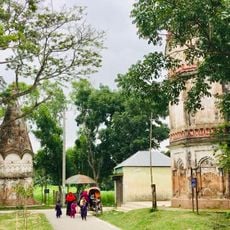
The district is home to traditional folk music forms like Maimansingha Gitika and Boul songs performed by Bengali and Garo communities. You can hear these musical traditions during local celebrations and gatherings throughout the year.

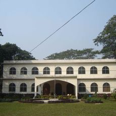
The district has two universities and several colleges, making it an education hub with good infrastructure. Visitors will find various accommodations and transportation options available in the larger towns.

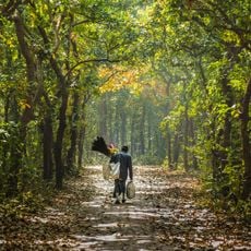
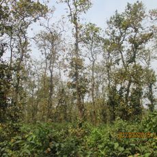
The Madhupur jungle area within the district is known for its sal forests, which have long been used for timber production. This forested region rises noticeably above the surrounding plains and offers a distinctly different landscape.

The community of curious travelers

AroundUs brings together thousands of curated places, local tips, and hidden gems, enriched daily by 60,000 contributors worldwide.

Start exploring
Capital city
Mymensingh
Shares border with
Sherpur District, Jamalpur District, Tangail District, Gazipur District, Kishoreganj District, Netrokona District
GPS coordinates
24.63417,90.26778
Latest update
December 17, 2025 09:43
« Mymensingh District - Administrative district in northern Bangladesh » is provided by Around Us (aroundus.com). Images and texts are derived from Wikimedia project under a Creative Commons license. You are allowed to copy, distribute, and modify copies of this page, under the conditions set by the license, as long as this note is clearly visible.

Discover hidden gems everywhere you go!

From secret cafés to breathtaking viewpoints, skip the crowded tourist spots and find places that match your style. Our app makes it easy with voice search, smart filtering, route optimization, and insider tips from travelers worldwide. Download now for the complete mobile experience.

Around Us App Screenshot

A unique approach to discovering new places

Le Figaro

All the places worth exploring

France Info

A tailor-made excursion in just a few clicks

20 Minutes

Around Us
Travel Guide & Maps
Download

Send to your phone

QR Code
1

Open the camera app on your mobile.

2

Point at the QR code with your camera. A notification will appear.

3

Tap the notification to open the link.