Bengal, Historical region in South Asia
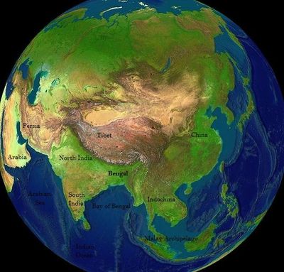
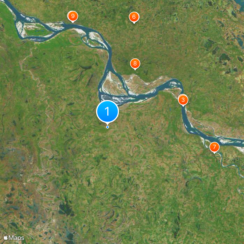
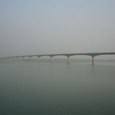
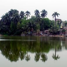
This territory spreads across eastern India and Bangladesh, shaped by the courses of the Ganges, Brahmaputra and Meghna rivers. Flat plains, riverbanks, mangrove forests and urban areas follow the flow of these waterways, creating a landscape dominated by channels, wetlands and farmland.
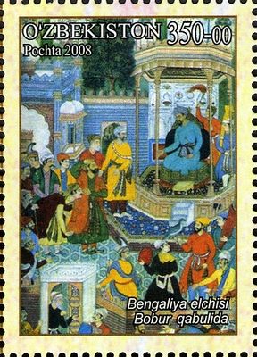
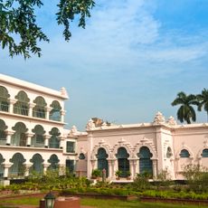
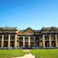
Kingdoms and sultanates ruled over these lands for centuries before British control reshaped the administration. Partition in 1947 divided the territory between India and Pakistan, and East Pakistan gained independence as Bangladesh in 1971.
Recitals, poetry readings and festivals fill the calendar throughout the year, and many celebrations blend religious traditions that have coexisted here for centuries. Teahouses and public squares remain gathering spots where people discuss literature, politics and daily life over cups of milky tea.
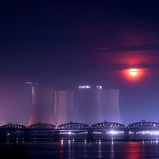
Dhaka, Kolkata and Chittagong function as major hubs with international airports, rail connections and seaports linking the area to the rest of South Asia and beyond. Travel during the monsoon season between June and September can be disrupted by flooding and road closures.
Three major rivers meet and form the largest delta system in Asia, constantly reshaped by sediment flowing down from the Himalayas. Islands appear and vanish with the currents, and some villages relocate every few years as channels shift around them.
The community of curious travelers
AroundUs brings together thousands of curated places, local tips, and hidden gems, enriched daily by 92,605 contributors worldwide.