
Manpura Upazila, upazila in Barisal Division, Bangladesh
Location: Bhola District
Elevation above the sea: 1 m
Website: http://monpura.bhola.gov.bd
Website: http://monpura.bhola.gov.bd
GPS coordinates: 22.29860,90.97920
Latest update: April 18, 2025 23:26
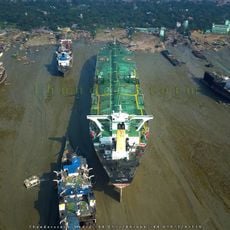
Chittagong Ship Breaking yard
79.1 km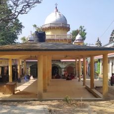
Chandranath Temple
81.6 km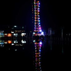
Jakob Tower
25.9 km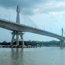
Payra Bridge
68.5 km
M. A. Aziz Stadium
81.5 km
BNS Sher-e-Bangla
78.6 km
Barisal Polytechnic Institute
77.5 km
Sitakunda Botanical Garden and Eco Park
79.4 km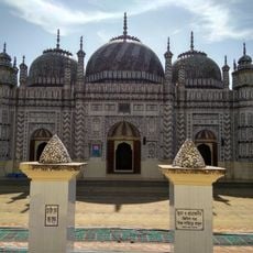
Bazra Shahi Jam-e-Masjid
79.7 km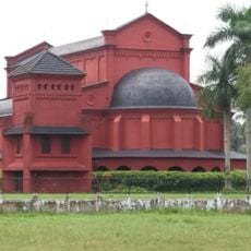
Oxford Mission Church
77.8 km
Nijhum Dwip National Park
26 km
Char Kukri-Mukri Wildlife Sanctuary
53.9 km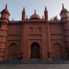
Asgar Ali Chowdhury Jame Mosque
81.8 km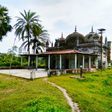
Ramjan Miah Jami Mosque
66.4 km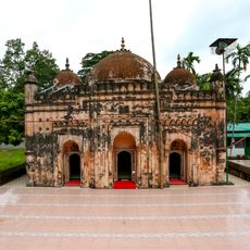
Bakhshi Hamid Mosque
79.4 km
Baroiyadhala National Park
81.2 km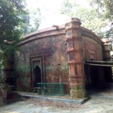
Nasrat Gazi Mosque
62.3 km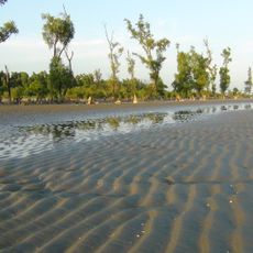
Sonarchar Wildlife Sanctuary
70.8 km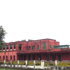
Collectorate Bhaban, Barishal
76.9 km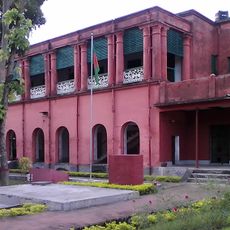
Barisal Divisional Museum
76.8 km
স্বাধীনতা জাদুঘর ভোলা
46.1 km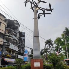
Bijoy Bihongo Sculpture
77.3 km
Anandabazar
78.6 km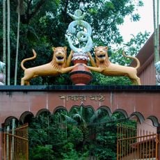
Shankar Matha O Mission
79.6 km
Sri Sri Sita Tample
80.5 km
Satsanga Ashram, Chandranath Hill
79.9 km
Dashina
44.2 km
Sri Sri Rama Lakshmana Kunda
80.4 kmReviews
Visited this place? Tap the stars to rate it and share your experience / photos with the community! Try now! You can cancel it anytime.
Discover hidden gems everywhere you go!
From secret cafés to breathtaking viewpoints, skip the crowded tourist spots and find places that match your style. Our app makes it easy with voice search, smart filtering, route optimization, and insider tips from travelers worldwide. Download now for the complete mobile experience.

A unique approach to discovering new places❞
— Le Figaro
All the places worth exploring❞
— France Info
A tailor-made excursion in just a few clicks❞
— 20 Minutes