Panchagarh Sadar Upazila, Upazilla of Panchagarh District
Location: Panchagarh District
Elevation above the sea: 82 m
Website: http://panchagarhsadar.panchagarh.gov.bd
GPS coordinates: 26.33470,88.55830
Latest update: April 6, 2025 14:59
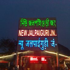
New Jalpaiguri Junction railway station
40.4 km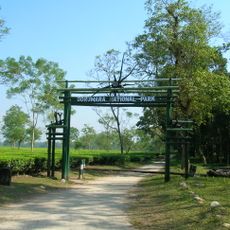
Gorumara National Park
47.3 km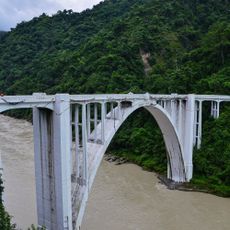
Coronation Bridge
63.8 km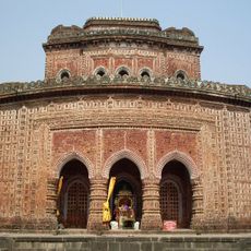
Kantajew Temple
61.5 km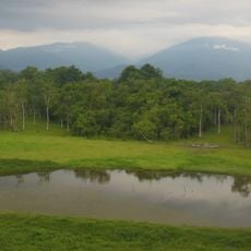
Chapramari Wildlife Sanctuary
67 km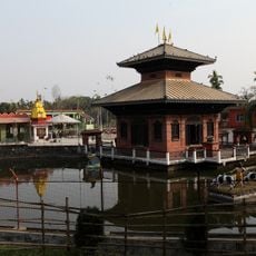
Arjundhara Dham
70.1 km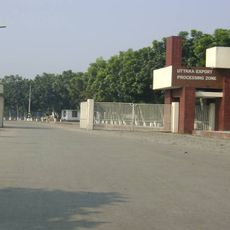
Uttara Export Processing Zone
61.2 km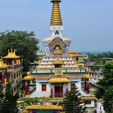
Tashi Gomang Shedra Buddhist Monastery
49.4 km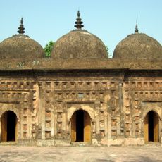
Nayabad Mosque
62.3 km
Uttar Kanya
40.2 km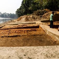
Bhitagarh
13.8 km
Nilphamari Stadium
53.2 km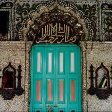
Chini Mosque
68.7 kmMechi Bridge
66.1 km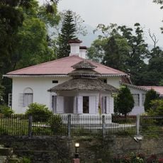
Rabindra Museum
73.5 km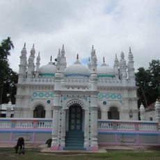
Jamalpur Jame Masjid
40.5 km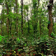
Singra National Park
49.5 km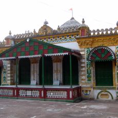
Kaliya jue Temple
61.5 km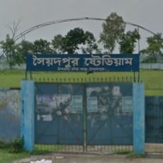
Saidpur Stadium
70.4 km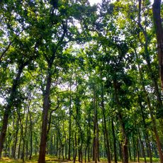
Birgonj National Park
55 km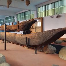
Panchagarh Rocks Museum
85 m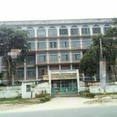
Thakurgaon Polytechnic Institute
34.9 km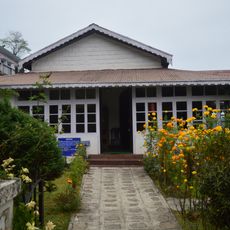
Netaji Museum and Centre for Studies in Himalayan Languages Society & Culture
64.6 km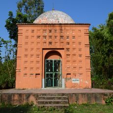
Tarasundari temple
69.4 km
DHR Sukna Museum
54.4 km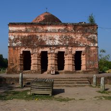
Bhairabi temple
73.7 km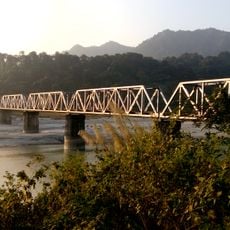
Teesta Railway Bridge
61.4 km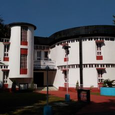
Akshaya Kumar Maitreya Heritage Museum
46.5 kmVisited this place? Tap the stars to rate it and share your experience / photos with the community! Try now! You can cancel it anytime.
Discover hidden gems everywhere you go!
From secret cafés to breathtaking viewpoints, skip the crowded tourist spots and find places that match your style. Our app makes it easy with voice search, smart filtering, route optimization, and insider tips from travelers worldwide. Download now for the complete mobile experience.

A unique approach to discovering new places❞
— Le Figaro
All the places worth exploring❞
— France Info
A tailor-made excursion in just a few clicks❞
— 20 Minutes