
Rajasthali Upazila, upazila in Chittagong Division, Bangladesh
Location: Rangamati Hill District
Elevation above the sea: 43 m
Website: http://rajasthali.rangamati.gov.bd
GPS coordinates: 22.38330,92.24170
Latest update: May 6, 2025 19:01
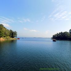
Kaptai Lake
12.6 km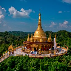
Buddha Dhatu Jadi
18.4 km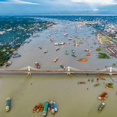
Shah Amanat Bridge
40.5 km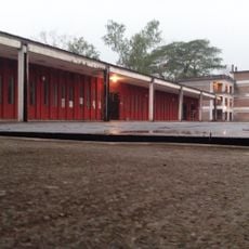
Bangladesh Sweden Polytechnic Institute
13.9 km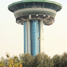
Shadhinata Complex
40.4 km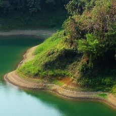
Kaptai National Park
13.9 km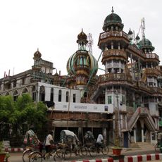
Masjid-e-Siraj ud-Daulah
41.8 km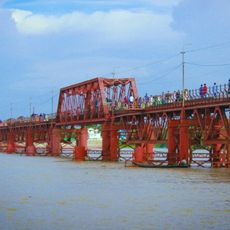
Kalurghat Bridge
36.3 km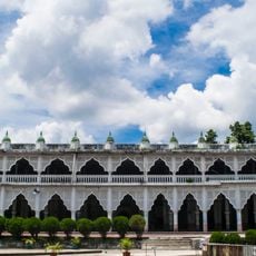
Anderkilla Shahi Jame Mosque
42 km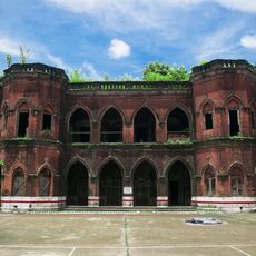
Chandanpura Nachghar
41.7 km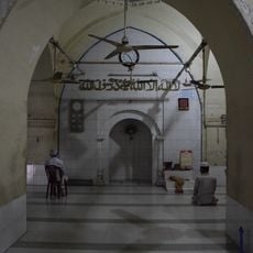
Wali Khan Mosque
41.7 km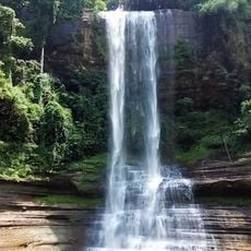
Dhuppani waterfall
17.9 km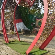
Love Point, Bangladesh
29.1 km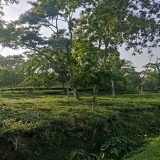
Chandpur Belgaon Tea Garden
40.8 km
Sheikh Russel Aviary and Eco-Park
17.5 km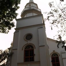
Our Lady of the Holy Rosary Cathedral
41.8 km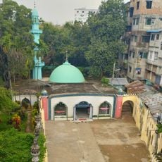
Badr Auliya Dargah
41.7 km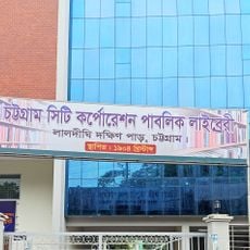
Chittagong City Corporation Public Library
41.9 km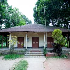
Kadurkhil High School Mrith Bhaban
32.3 km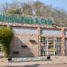
Hillview Park & Cafe
37.5 km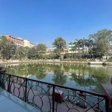
Laldighi
41.9 km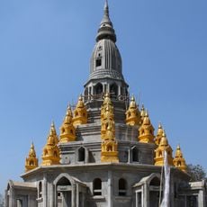
Rama Zadi Temple
20.9 km
Mullah Miskin Mosque
41.9 km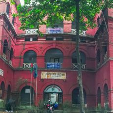
Chittagong College Red Building
41.8 km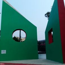
Raozan Monument
37.8 km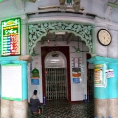
Badr Auliya Mosque
41.6 km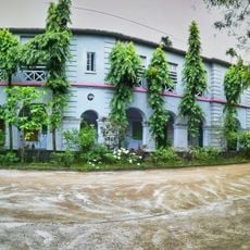
Administration Building, Dr. Khastagir Government Girls' High School
42.1 km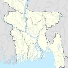
Rowangghhari
21.9 kmVisited this place? Tap the stars to rate it and share your experience / photos with the community! Try now! You can cancel it anytime.
Discover hidden gems everywhere you go!
From secret cafés to breathtaking viewpoints, skip the crowded tourist spots and find places that match your style. Our app makes it easy with voice search, smart filtering, route optimization, and insider tips from travelers worldwide. Download now for the complete mobile experience.

A unique approach to discovering new places❞
— Le Figaro
All the places worth exploring❞
— France Info
A tailor-made excursion in just a few clicks❞
— 20 Minutes