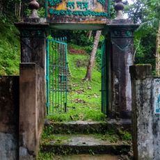
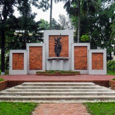
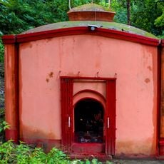
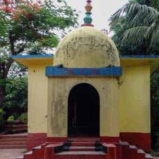
Chandranath Hill, Hindu pilgrimage hill in Chattogram District, Bangladesh
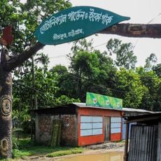
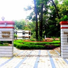
Chandranath Hill is the highest peak of the Chittagong Western Hill Range, rising to about 1,152 feet (310 m) and forming the highest point in Chattogram District. Its slopes are covered in dense, dark vegetation creased by ridges and ravines, with dry, yellow-brown grass and scattered shrubs on steeper faces. Sitakunda Botanical Garden and Eco-Park lies at its foothills.
Chandranath Hill is the highest peak of the Chittagong Western Hill Range, a spur of the eastern Himalayas that runs about 70 km from the Feni River to Chittagong city. The range's crest reaches roughly 1,152 feet at Chandranath Peak, the highest point in Chittagong District; nearby Ambernama rises 900 feet and Saijjydala 801 feet. Sitakunda Botanical Garden and Eco-Park was built at the foot of the hill.
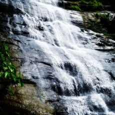
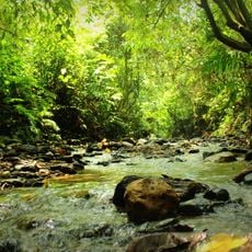
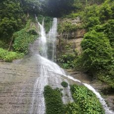
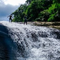
The left-hand trail to the summit passes through forest and traditional Tipra villages, whose residents live on the slopes of the hill. The two waterfalls on the hill are named Shahasradhara and Suptadhara, and streams such as Ghazaria, Bermasia, Fatikchari, Harulalchari and Boalia run east from the ridge into the Halda River.
From the base, the Chandranath trail splits in two. The left route is a natural dirt path through forest and traditional Tipra villages, gentler and usually chosen for the climb. The right route is steep concrete and stone stairs, often used for the descent because the footing is safer than slippery dirt.
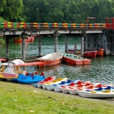
The two waterfalls on the hill are named Shahasradhara and Suptadhara. Streams rising on its eastern side, among them Ghazaria, Bermasia, Fatikchari, Harulalchari and Boalia, join the Halda River, while Mahamaya and Mitha Chhara on the west drain toward the Bay of Bengal. A rubber dam now stands on the Mahamaya canal.
The community of curious travelers
AroundUs brings together thousands of curated places, local tips, and hidden gems, enriched daily by 93,377 contributors worldwide.