
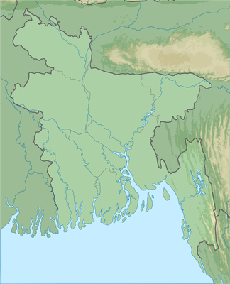
Chapai Nawabganj Sadar Upazila, upazila in Rajshahi Division, Bangladesh
Location: Chapai Nawabganj District
Inception: 1899
Capital city: Nawabganj
Elevation above the sea: 15 m
Website: http://chapainawabganjsadar.chapainawabganj.gov.bd
Website: http://chapainawabganjsadar.chapainawabganj.gov.bd
GPS coordinates: 24.60000,88.26670
Latest update: March 12, 2025 02:14
Gauḍa
34.5 km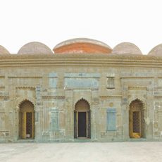
Choto Sona Mosque
26.9 km
Firoz Minar
33.4 km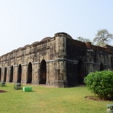
Baro Shona Masjid
34.5 km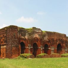
Darasbari Mosque
29 km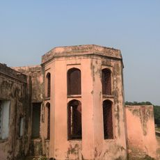
Taha-Khana of Shah Shuja
27.5 km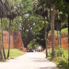
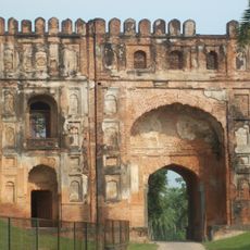
Kotwali Gate
29.8 km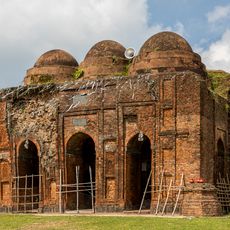
Kheraul mosque
34.1 km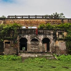
Kansat Zamindar Bari
17.6 km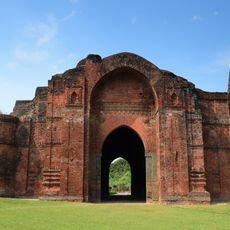
Dakhil Darwaza
34.2 km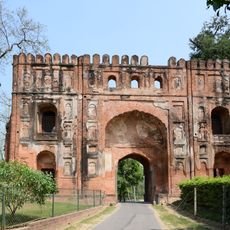
Lukachuri Gateway
32.9 km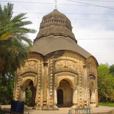
Bhavaniswar Mandir
38.8 km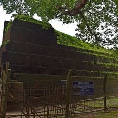
Kotwali Gate
29.9 km
Qadam Rasul Mosque
32.9 km
Naoda Buruz
26.6 km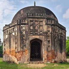
Rohanpur Octagonal Tomb
26 km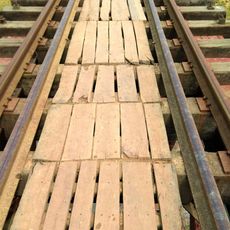
Rohanpur Railway Bridge
25.4 km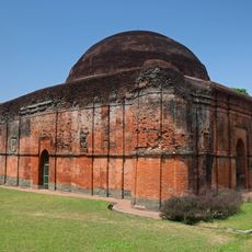
Chika Masjid
32.8 km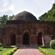
Chamkati Masjid
32.9 km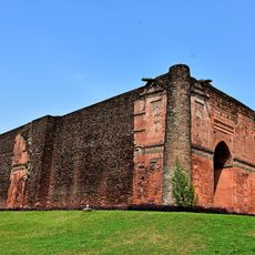
Tantipara Mosque
31.8 km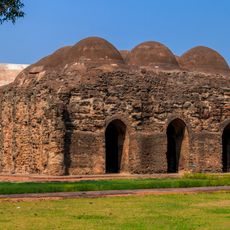
Gunmant Mosque
31.1 km
Lottan Masjid
31.2 km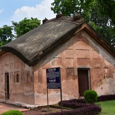
Tomb of Fateh Khan
32.9 km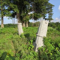
Bhita of Chand Sadagar
32.2 km
Dhuliyan Rajbari
33.1 km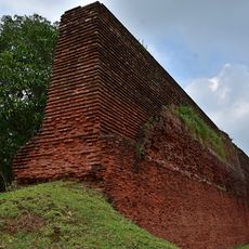
Baisgazi Wall
33.3 km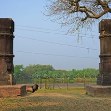
Two stone pillars
37 km
Gangeshwar Temple
38.5 kmReviews
Visited this place? Tap the stars to rate it and share your experience / photos with the community! Try now! You can cancel it anytime.
Discover hidden gems everywhere you go!
From secret cafés to breathtaking viewpoints, skip the crowded tourist spots and find places that match your style. Our app makes it easy with voice search, smart filtering, route optimization, and insider tips from travelers worldwide. Download now for the complete mobile experience.

A unique approach to discovering new places❞
— Le Figaro
All the places worth exploring❞
— France Info
A tailor-made excursion in just a few clicks❞
— 20 Minutes