Enable Location

We need your location to show you interesting places around you

Discover nearby places

Find interesting locations and hidden gems around you

Precise directions

Get accurate directions and distances to places

Your location is never shared with other users. It's only used when you tap the location button.

Aiyang Tlang

Log in to your account

Start exploring — it's free

Trusted by 61,441 travelers worldwide

Continue with Google
Continue with Apple
or

We will send you a code to connect

By continuing, you accept our Terms and Conditions and our Privacy Policy

Check your inbox

We've sent a pincode in your inbox. Please enter the code below.

Aiyang Tlang

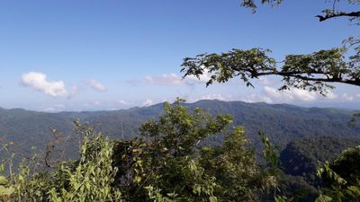
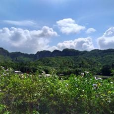
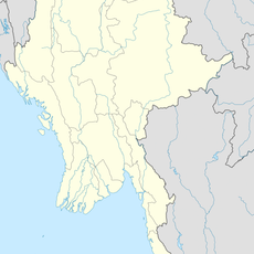
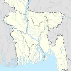
Aiyang Tlang, Mountain summit in Thanchi, Bangladesh.

Description

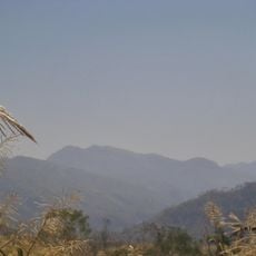
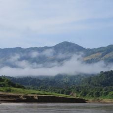
Aiyang Tlang is a mountain summit in Bandarban district that reaches approximately 1,005 meters in elevation. The peak sits near the Myanmar border and forms part of a mountain range with several other summits in the area.

History

The mountain was first precisely mapped in 2019 when a surveyor confirmed its exact elevation through GPS measurements. This documentation helped establish the peak's importance in the region's geography.

Culture

The Bawm ethnic community maintains strong connections to Aiyang Tlang, with Van Rausang Bawm first identifying the peak in the 1980s.

Practical

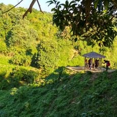
Reaching this summit requires planning and assistance from local community members familiar with the terrain. Travel is easier during drier months when conditions are more stable for mountain access.

Did you know?

The summit sits approximately 300 meters from the Myanmar border and belongs to a cluster of peaks called Mowdok. This proximity to the border makes the location geographically distinctive within the region.

GPS coordinates
21.67327,92.60445
Latest update
December 14, 2025 13:06

AroundUs brings together thousands of curated places, local tips, and hidden gems, enriched daily by 60,000 contributors worldwide. Discover all places nearby (Bangladesh).

« Aiyang Tlang - Mountain summit in Thanchi, Bangladesh » is provided by Around Us (aroundus.com). Images and texts are derived from Wikimedia project under a Creative Commons license. You are allowed to copy, distribute, and modify copies of this page, under the conditions set by the license, as long as this note is clearly visible.

Discover hidden gems everywhere you go!

From secret cafés to breathtaking viewpoints, skip the crowded tourist spots and find places that match your style. Our app makes it easy with voice search, smart filtering, route optimization, and insider tips from travelers worldwide. Download now for the complete mobile experience.

Around Us App Screenshot

A unique approach to discovering new places

Le Figaro

All the places worth exploring

France Info

A tailor-made excursion in just a few clicks

20 Minutes

Around Us
Travel Guide & Maps
Download

Send to your phone

QR Code
1

Open the camera app on your mobile.

2

Point at the QR code with your camera. A notification will appear.

3

Tap the notification to open the link.