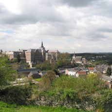
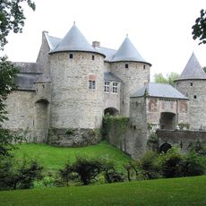
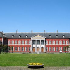
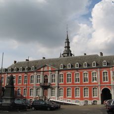
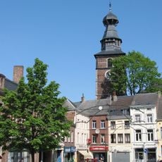
Wallonia, Geographic region in southern Belgium
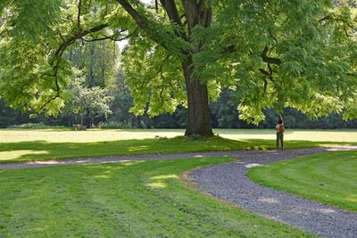
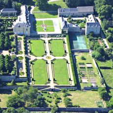
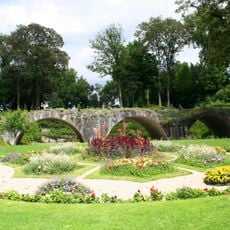
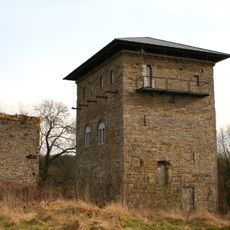
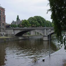
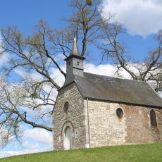
Wallonia is a geographic region in southern Belgium that extends across five provinces and covers landscapes from the Sambre and Meuse valleys to the Ardennes forests. This southern territory is crossed by rivers that wind through hilly countryside and forested plateaus, creating a varied topography.
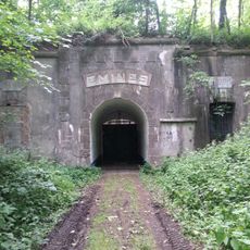
During the 19th century, this territory became a major industrial center and grew into the second most industrialized region in Europe after the United Kingdom. Coal deposits and the steel industry shaped the economic and social structure for more than a century.
French is the main language across this territory, while German holds official status in nine municipalities along the eastern border. This language distribution reflects the historical evolution and cultural variety that visitors encounter in different parts of the region.
The regional government operates from Namur and manages sectors such as agriculture, transport, spatial planning, and environmental protection across the territory. Visitors will find various information centers and local offices in the larger towns that can help with orientation.
The flag displays a red rooster on a yellow background and represents the regional identity established during the administrative reforms of the 1980s. This symbol appears on public buildings and at regional events and has become a recognizable sign for this area.
The community of curious travelers
AroundUs brings together thousands of curated places, local tips, and hidden gems, enriched daily by 60,000 contributors worldwide.