Fortified Position of Liège, Fortified line in Liège, Belgium.
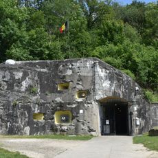
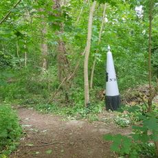
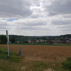
The Fortified Position of Liège is a system of twelve concrete fortifications arranged in a protective ring around the city and its bridges. These structures were positioned strategically to control access to the city and defend its vital points.
The system was built in response to perceived German threat in the early 20th century and played a critical role in the opening days of conflict. The fortifications held against the offensive for nearly two weeks, giving allies time to organize their defense.
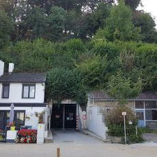
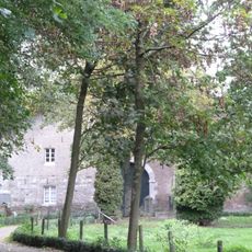
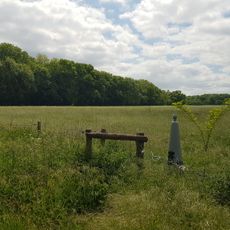
The fortifications became symbols of the city's resistance, and visitors today can experience the story of defense directly at the sites themselves. These places carry the memory of those who resisted overwhelming forces and earned their city lasting recognition.
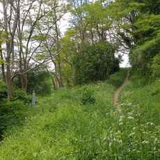
The fortifications are accessible throughout the year, with many sites offering tours in various languages. Plan to visit multiple locations and wear sturdy shoes, as some fortifications involve stairs and uneven ground.
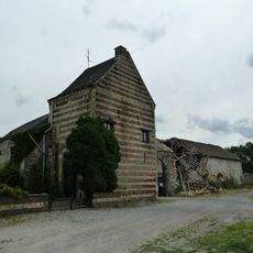
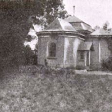
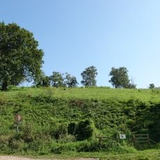
Fort Loncin was destroyed by an ammunition magazine explosion and remains frozen in that moment, with visible blast craters marking its walls. This abandoned site is visited today exactly as it was left after the explosion in 1914.
The community of curious travelers
AroundUs brings together thousands of curated places, local tips, and hidden gems, enriched daily by 60,000 contributors worldwide.