Ruy, Mountain range in Kraishte region, Serbia and Bulgaria
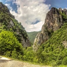
Ruy is a mountain range that stretches roughly 12 kilometers from northwest to southeast along the border region. Its steep slopes descend sharply toward the Tran valley and the Erma river below.
The state border between Bulgaria and Serbia runs along Ruy's ridge from border pyramid No. 199 to No. 230, crossing the summit itself, where the larger part of the cone lies in Bulgaria. A coal mine near the village of Rakitа operated until it closed in 1964. Because the mountain lies in a border zone with an army outpost, visits must be announced to the military authorities in advance.
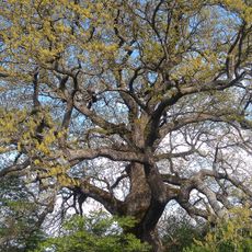
The name Ruy comes from the Latin name for the smoke tree (Rhus cotinus), a plant widespread here according to Vasil Mikov. The mountain's high pastures are still grazed, and the villages along its southern edge, such as Zabel and Miloslavtsi, keep livestock traditions.
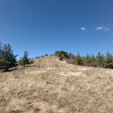
The summit lies on the state border at border pyramid No. 210, and a Serbian Army border post stands near the village of Rakita in the northwest. Because of the military presence and the border zone, visitors must notify the military authorities in advance of any hiking or similar activity. Snowdrifts on the peaks often last until the end of April.
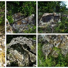
The rocks contain deposits of lead, silver, and copper ores within geological formations of Proterozoic gneiss and Paleozoic granites. These mineral reserves have attracted human interest in the region for centuries.
The community of curious travelers
AroundUs brings together thousands of curated places, local tips, and hidden gems, enriched daily by 94,341 contributors worldwide.