
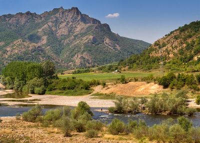
Madzharovo, town in Bulgaria
Location: Madzharovo Municipality
Elevation above the sea: 199 m
GPS coordinates: 41.63292,25.86065
Latest update: April 15, 2025 18:38
Tatul
28.1 km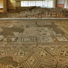
Villa Armira
25.3 km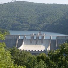
Ivaylovgrad Reservoir
9.3 km
Gluhite kamani
13.2 km
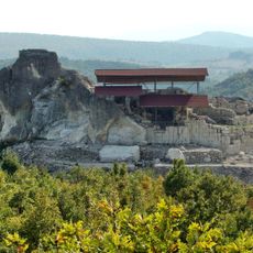
Thracian tomb near Mezek
23 km
Harman kaya
29.1 km
Mezek Fortress
21.9 km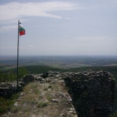
Lyutitsa
22.2 km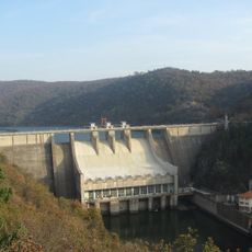
Arda Cascade
31.3 km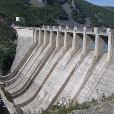
Studen Kladenets
19.9 km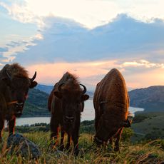
Valchi Dol
15.2 km
Scheynovets
16.8 km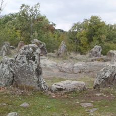
Dolni Glavanak Cromlech
6.7 km
Kovil
20.6 km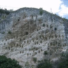
Kovan kaya
11.6 km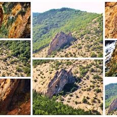
Shan kaya
13 km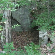
Hambar dere
24.6 km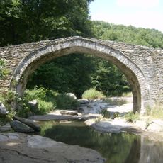
Aterenski most
22.8 km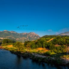
Природозащитен център „Източни Родопи“
1.5 km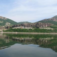
Sredna Arda
29.9 km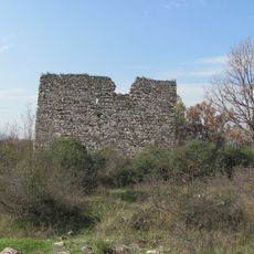
Byalgrad
25.8 km
Ivaylovgrad monastery
24.9 km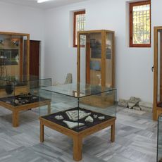
Historic Museum Ivailovgrad
25.3 km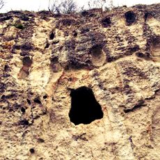
Дупката на поп Мартин
7.8 km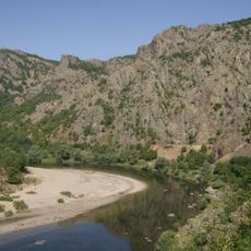
Nesting of endangered diurnal raptors
2.6 km
Senoklas
5.6 km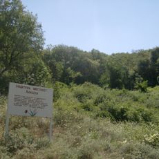
Likana
30.9 km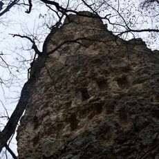
Кралимарков камък
18.1 kmVisited this place? Tap the stars to rate it and share your experience / photos with the community! Try now! You can cancel it anytime.
Discover hidden gems everywhere you go!
From secret cafés to breathtaking viewpoints, skip the crowded tourist spots and find places that match your style. Our app makes it easy with voice search, smart filtering, route optimization, and insider tips from travelers worldwide. Download now for the complete mobile experience.

A unique approach to discovering new places❞
— Le Figaro
All the places worth exploring❞
— France Info
A tailor-made excursion in just a few clicks❞
— 20 Minutes