
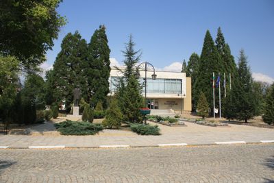
Pirdop, human settlement
Location: Pirdop Municipality
Elevation above the sea: 696 m
GPS coordinates: 42.70108,24.18571
Latest update: March 3, 2025 12:27
Chavdar
11.5 km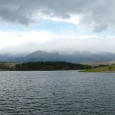
Dushantsi Reservoir
8.3 km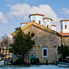
Etropole Monastery
18.3 km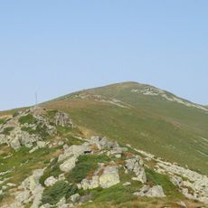
Vezhen
15.1 km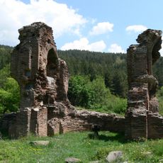
Elenska Basilica
4.5 km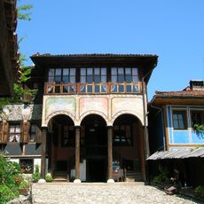
Oslekov House
15.6 km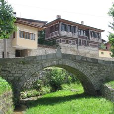
First Shot bridge
15.7 km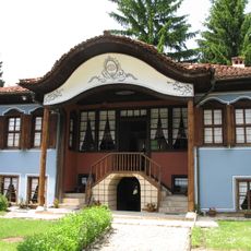
Lyutov House
15.6 km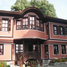
Kableshkov House
15.6 km
Boatin Biosphere Reserve
13.2 km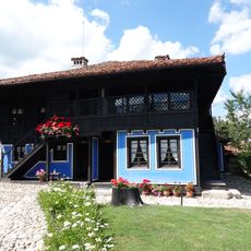
Debelyanov House
15.5 km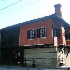
Karavelov House
15.7 km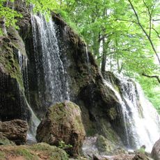
Etropole Waterfall
18.2 km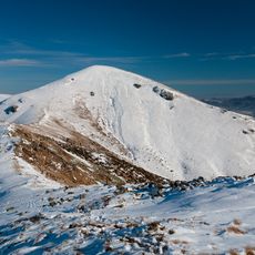
Свищи плаз
9.3 km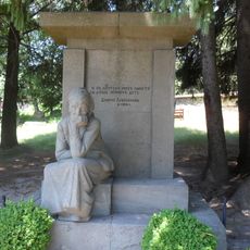
Monument of Dimcho Debelianov`s mother
15.6 km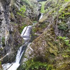
Kazanite waterfall
14.1 km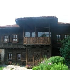
Benkovski House
16.1 km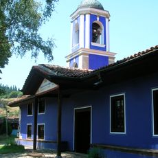
Saint Theotokos church, Koprivshtitsa
15.6 km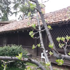
Павликянска къща
15.8 km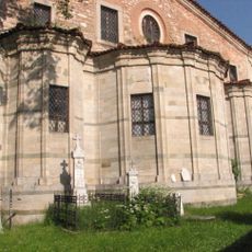
Saint Nicholas church, Koprivshtitsa
16 km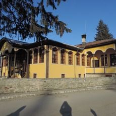
Living museum, Koprivshtitsa
15.8 km
Chitalishte Nencho Palaveev
15.8 km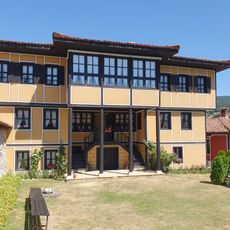
Художествена галерия „Палавееви къщи“
15.5 km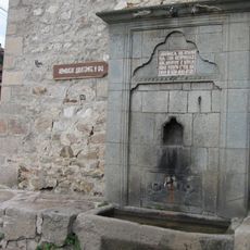
Moravenov Fountain
16 km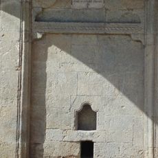
Мирчова чешма
16 km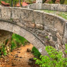
Moravenov bridge
16.1 km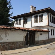
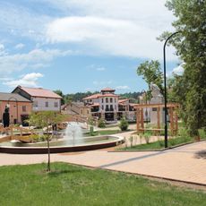
Pirdop history museum
448 m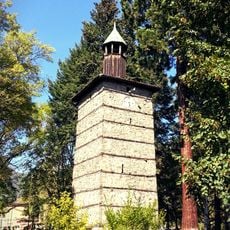
Clock Tower of Zlatitsa
4.1 kmVisited this place? Tap the stars to rate it and share your experience / photos with the community! Try now! You can cancel it anytime.
Discover hidden gems everywhere you go!
From secret cafés to breathtaking viewpoints, skip the crowded tourist spots and find places that match your style. Our app makes it easy with voice search, smart filtering, route optimization, and insider tips from travelers worldwide. Download now for the complete mobile experience.

A unique approach to discovering new places❞
— Le Figaro
All the places worth exploring❞
— France Info
A tailor-made excursion in just a few clicks❞
— 20 Minutes