Yaroslavtsi, village of Bulgaria
Location: Breznik Municipality
Elevation above the sea: 912 m
GPS coordinates: 42.81340,22.82156
Latest update: April 26, 2025 02:46

Tran gorge
15 km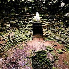
Sacred pit of Garlo
3.6 km
Saint Petka chapel
15.2 km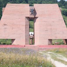
Pantheon Mother Bulgaria
12.9 km
Музей йогурта
18.5 km
Ябланишко ждрело
12.2 km
Museum of Busintsi ceramics
16.4 km
Vrabcha waterfall
11.2 km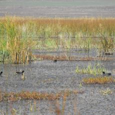
Aldomirovtsi marsh
16.9 km
Драговски камък
9.7 km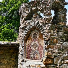
Bilintsi Monastery
1.3 km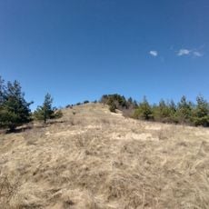
Kitka
3.7 km
Tran Monastery
15 km
Ждрелото на река Ерма
15 km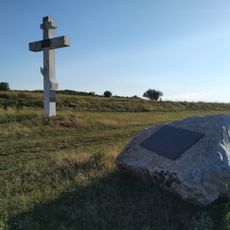
The new cemetery over Slivnitsa
17.2 km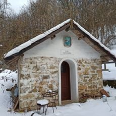
Dragoil Monastery
15.9 km
Mislovshtitsa Monastery
9 km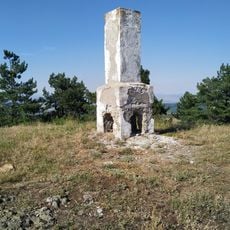
Mechi Kamak
8 km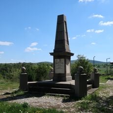
Aldomirovtsi monument
13.3 km
Lyubash
8.5 km
Светилище Гарванов камък
11.7 km
Paramun
6.7 km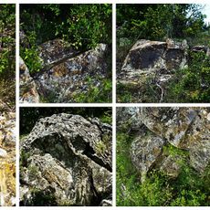
Прокопие
2.2 km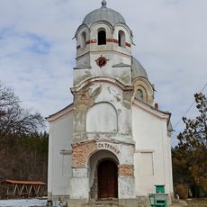
Gaber church St Trinity
9.5 km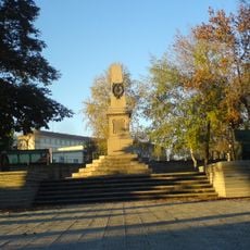
Паметник на загиналите в Сръбско-българската война
10.6 km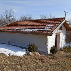
Viskyar Monastery
17.6 km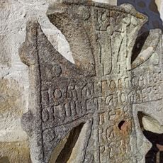
Неделищки манастир
8.4 km
Chitalishte Dragoman 1925
14.9 kmVisited this place? Tap the stars to rate it and share your experience / photos with the community! Try now! You can cancel it anytime.
Discover hidden gems everywhere you go!
From secret cafés to breathtaking viewpoints, skip the crowded tourist spots and find places that match your style. Our app makes it easy with voice search, smart filtering, route optimization, and insider tips from travelers worldwide. Download now for the complete mobile experience.

A unique approach to discovering new places❞
— Le Figaro
All the places worth exploring❞
— France Info
A tailor-made excursion in just a few clicks❞
— 20 Minutes