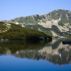
Bashliyski Chukar, Mountain summit in Pirin range, Bulgaria
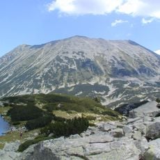
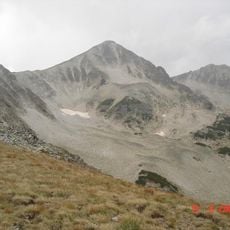
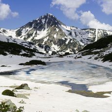
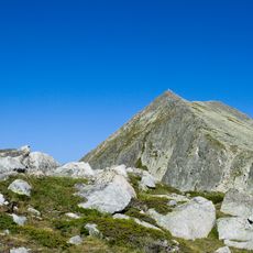
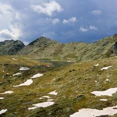
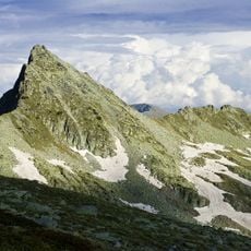
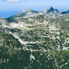
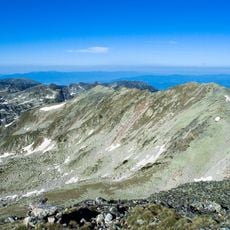
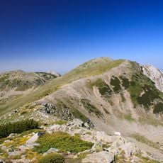
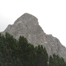
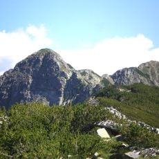
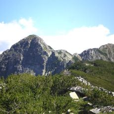
Bashliyski Chukar is a granite peak in the Pirin range that rises to 2,683 meters above sea level. The western side drops steeply while the eastern slopes descend more gradually and are covered with mountain pine.
The peak formed millions of years ago through erosion and tectonic activity that shaped the Pirin massif. Its granite structure has been molded by wind and water over vast stretches of time and defines the terrain between Malko Spano Pole and the Bashliyski cirque.
The peak was renamed Glavnishki Chukar during Bulgaria's Revival Process, and the name appears on all new tourist maps, yet mountaineers kept using Bashliyski Chukar. The western wall carries a 5a-graded climbing route. Ascents are usually made from the Bashliyski Lakes to the north-east or via the northern saddle.
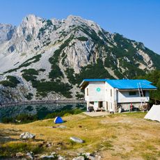
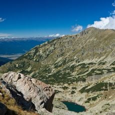
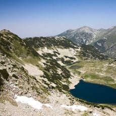
The peak is most easily reached from Bashliyski Lake to the north-east or via the saddle north of the summit. Starting points are the Yane Sandanski and Begovitsa refuges and the Spano Pole shelter. The saddle is steep on its western side and gentler on the east, and is passable in both directions.
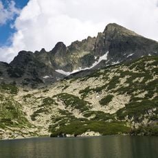
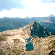
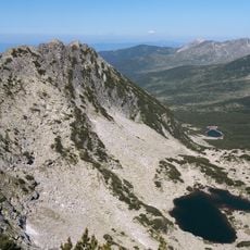
The western wall is a hoof-shaped vertical face over 200 m high, and a climbing route of grade 5a runs up it. Seen from the main ridge to the east, this peak and Banderishki Chukar form a sharp secondary cirque open to the east, with the second-highest and deepest lake of the Bashliyski cirque at its base.
The community of curious travelers
AroundUs brings together thousands of curated places, local tips, and hidden gems, enriched daily by 94,115 contributors worldwide.