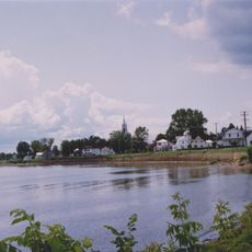
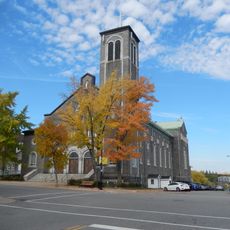
La Tuque, Administrative center in Mauricie region, Quebec, Canada
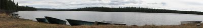
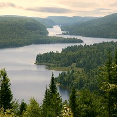
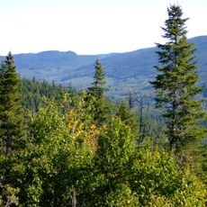
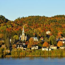
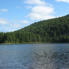
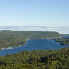
La Tuque is a city in the Mauricie region of Quebec that covers an expansive forested territory in central Canada. The community spreads across a vast area shaped by river valleys and the geography of the boreal forest landscape.
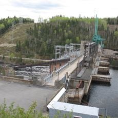
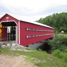
The area became a settlement in the late 1800s when a post office was established, and railway construction in the early 1900s brought workers and industrial activity. Rail connections made forestry and resource extraction viable in this remote region.
French language dominates daily communications in La Tuque, with 95 percent of residents using it as their primary method of interaction.
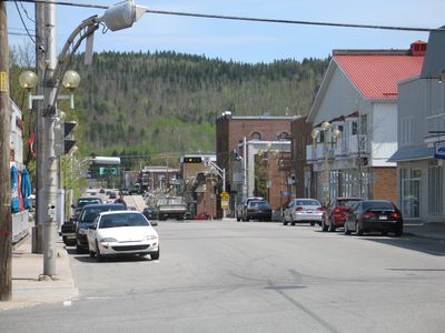
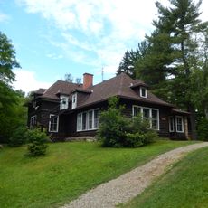
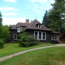
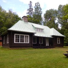
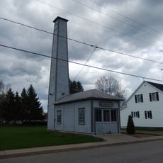
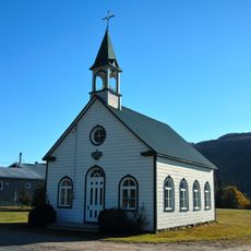
Visitors will find basic services concentrated in the central areas, with shops and public buildings along the main streets. It is helpful to plan ahead since services are spread across a large territory.
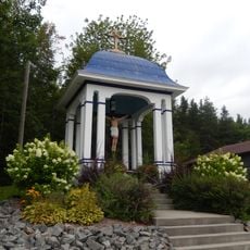
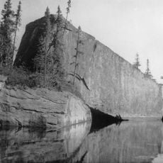
The name comes from a rock formation shaped like a traditional knitted wool cap worn in Quebec. This unusual origin of the name remains part of the local character today.
Location: urban agglomeration of La Tuque
Inception: March 26, 2003
Shares border with: Wemotaci, La Bostonnais, Trois-Rives, Eeyou Istchee James Bay Regional Government, Lac-Ashuapmushuan, Lac-Bouchette, Lac-Moncouche, Lac-Jacques-Cartier, Senneterre, Lac-Croche, Lac-Édouard, Dépôt-Échouani, Lac-De La Bidière, Lac-Bazinet, Baie-Obaoca, Lac-Normand, Linton, Lac-Lapeyrère, Lac-Masketsi, Obedjiwan, Coucoucache
Website: http://ville.latuque.qc.ca
GPS coordinates: 47.43333,-72.78333
Latest update: December 20, 2025 15:14
La Mauricie National Park
71.9 km
Laurentides Wildlife Reserve
44.1 km
Saint-Jean-des-Piles
82.8 km
Zec du Chapeau-de-Paille
72.9 km
Ducharme Bridge
12.3 km
Seigneurie de Batiscan
77.1 km
Saint-Maurice Wildlife Reserve
52.5 km
Portneuf Regional Natural Park
83.1 km
Bordeleau Bridge
86.3 km
Reservoir Blanc
47.6 km
Tavibois
80.6 km
Camp Val Notre-Dame
82 km
Irénée-Marie Ecological Reserve
71.8 km
Domaine Wabenaki-Andrew
84.5 km
Wabenaki Lodge
84.5 km
Église Saint-Andrew
569 m
Andrew Lodge
84.6 km
Calvaire du rang Saint-Joseph
81.2 km
Pont Thiffault
18.1 km
Caserne Patrick-Douville
82.1 km
Réserve de biodiversité projetée de la Vallée-Tousignant
52.6 km
Church of St. Bernardine of Siena
66.6 km
Église Saint-Zéphirin
870 m
Chapelle Saint-Agricole de Saint-Raymond
83.9 km
Église de Saint-Ubalde
84.8 km
Édifice du Brown Community Club
1.1 km
Rocher Steamboat
48.6 km
Pointe à la Mine
79.4 kmVisited this place? Tap the stars to rate it and share your experience / photos with the community! Try now! You can cancel it anytime.
Discover hidden gems everywhere you go!
From secret cafés to breathtaking viewpoints, skip the crowded tourist spots and find places that match your style. Our app makes it easy with voice search, smart filtering, route optimization, and insider tips from travelers worldwide. Download now for the complete mobile experience.
A unique approach to discovering new places❞
— Le Figaro
All the places worth exploring❞
— France Info
A tailor-made excursion in just a few clicks❞
— 20 Minutes