Isthmus of Chignecto, Isthmus in New Brunswick and Nova Scotia, Canada
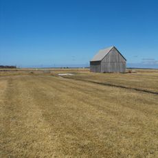
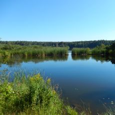
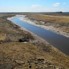
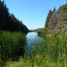
The Isthmus of Chignecto is a low-lying neck of land linking the Nova Scotia peninsula to mainland North America through New Brunswick. It separates Chignecto Bay, a sub-basin of the Bay of Fundy, from Baie Verte, an arm of the Gulf of St. Lawrence. At its narrowest, between Amherst and Tidnish, it is 24 kilometres wide. Much of it is covered by the Tantramar Marshes, tidal rivers and mixed forest, with ridges such as Fort Lawrence, Aulac, Sackville and Memramcook rising above the wetlands.
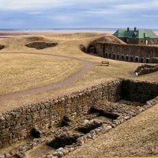
French settlers founded the Acadian farming community of Beaubassin on the isthmus, and in 1713 the isthmus became the dividing line between British Nova Scotia and French territory. In 1749 French forces built Fort Beauséjour on the Aulac Ridge in response to the British Fort Lawrence; the Missaquash River between the ridges was generally accepted as the boundary, though no official line was ever agreed.
The name Chignecto comes from the Mi'kmaq language and means drainage place, showing how indigenous people understood this landscape. Today, the name still shapes how people think about the region's geography.
The Trans-Canada Highway crosses the isthmus as Route 2 in New Brunswick and Highway 104 in Nova Scotia, running parallel to the Canadian National rail line between Amherst and Sackville. Route 16 branches off at Aulac toward the Confederation Bridge at Cape Jourimain. The narrowest crossing, between Amherst and Tidnish, is 24 km wide.
The isthmus is low enough that a sea-level rise of 12 metres (40 feet) would flood it and turn mainland Nova Scotia into an island. Its dikes currently withstand only 50-year storms, and in March 2025 Ottawa, New Brunswick and Nova Scotia agreed to split the 650-million-dollar reinforcement cost equally.
The community of curious travelers
AroundUs brings together thousands of curated places, local tips, and hidden gems, enriched daily by 93,794 contributors worldwide.