Saint-Donat, Municipality in Matawinie, Quebec, Canada
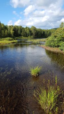
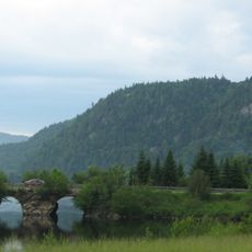
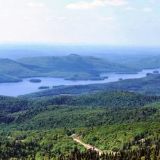
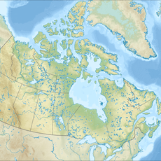
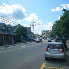
Saint-Donat is a municipality in the regional county of Matawinie, set in the Laurentian Mountains of Quebec's Lanaudière region. The area is defined by two large lakes, Lac Archambault and Lac Ouareau, which sit side by side and are surrounded by dense forests and rocky hills.
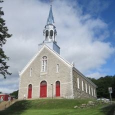
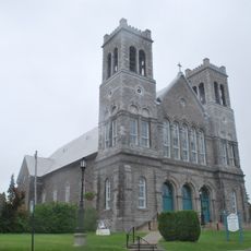
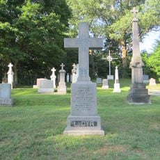
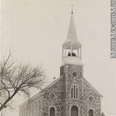
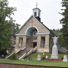
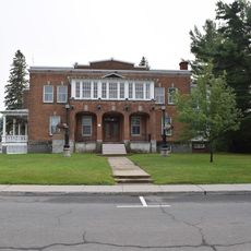
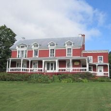
The settlement began around 1876, when a group of religious women established a parish in this remote mountain area. It became an official municipality in 1904 and grew steadily through the 20th century as tourism developed around its lakes and trails.
Saint-Donat has been twinned with Lans-en-Vercors, a town in France, since 1990, creating a lasting bond between the two communities. This connection encourages exchanges between visitors and residents on both sides of the Atlantic.
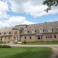
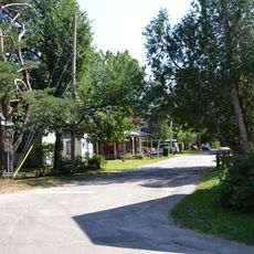
The municipality is easy to reach by car via Highways 125 and 329, about 84 miles (135 km) northwest of Montreal. It draws visitors in both winter, for snowmobiling and skiing, and summer, for water sports and hiking, so the experience changes significantly depending on when you arrive.
Near the highest point of the municipality, Montagne Noire, a small historical site marks the spot where a World War II Liberator aircraft crashed. A lookout was built close to the crash site, allowing visitors to take in the surrounding mountains while standing near a little-known piece of wartime history.
The community of curious travelers
AroundUs brings together thousands of curated places, local tips, and hidden gems, enriched daily by 60,000 contributors worldwide.