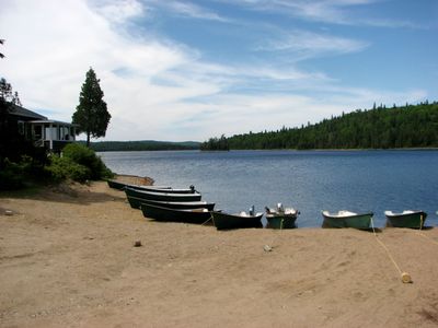
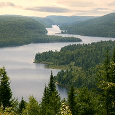
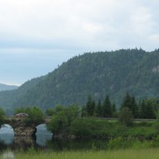
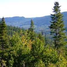
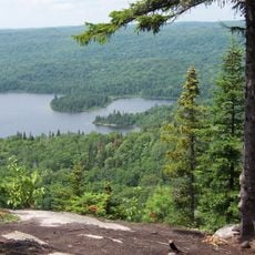
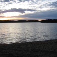
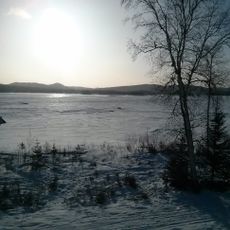
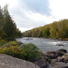
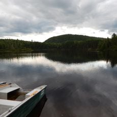
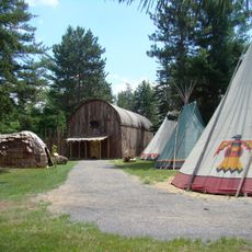
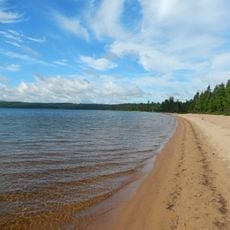
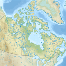
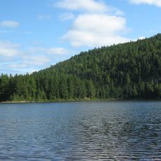
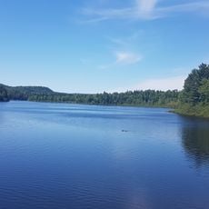
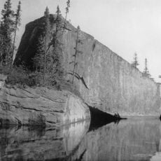
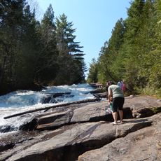
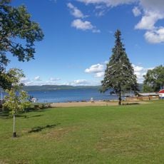
Baie-de-la-Bouteille, unorganized territory in Quebec, Canada
Location: Matawinie
Inception: January 1, 1986
Shares border with: Lac-De La Bidière, Saint-Michel-des-Saints
GPS coordinates: 46.76667,-73.66667
Latest update: March 3, 2025 11:04
La Mauricie National Park
53.5 km
Mont-Tremblant National Park
70.9 km
Laurentides Wildlife Reserve
67.5 km
Taureau Reservoir
12.7 km
Mastigouche Wildlife Reserve
16.9 km
Zec du Chapeau-de-Paille
29.7 km
Lac-Taureau Regional Park
11 km
Forêt-Ouareau Regional Park
63.6 km
Lac au Sorcier
23.3 km
Mokotakan
54.1 km
Saint-Maurice Wildlife Reserve
47.4 km
Mont Saint-Louis
61 km
Irénée-Marie Ecological Reserve
30.5 km
CHMK-FM
75.1 km
Wabenaki Lodge
62.1 km
Lac Charland
40.7 km
Réserve de biodiversité projetée de la Vallée-Tousignant
48.5 km
Saint-Jean-de-Matha Church
60.5 km
Lac Bourassa
27.2 km
Monument funéraire de Louis Cyr
61.3 km
Saint-Alexis Church
52.4 km
Rocher Steamboat
53.1 km
Presbytère de Saint-Didace
57.1 km
Ancien couvent de Saint-Jean-de-Matha
60.4 km
Ruisseau du Caribou
51 km
Plage du Manoir
55.7 km
Maison de Louis Cyr
60.5 km
Ancien presbytère de Saint-Jean-de-Matha
60.5 kmReviews
Visited this place? Tap the stars to rate it and share your experience / photos with the community! Try now! You can cancel it anytime.
Discover hidden gems everywhere you go!
From secret cafés to breathtaking viewpoints, skip the crowded tourist spots and find places that match your style. Our app makes it easy with voice search, smart filtering, route optimization, and insider tips from travelers worldwide. Download now for the complete mobile experience.
A unique approach to discovering new places❞
— Le Figaro
All the places worth exploring❞
— France Info
A tailor-made excursion in just a few clicks❞
— 20 Minutes