
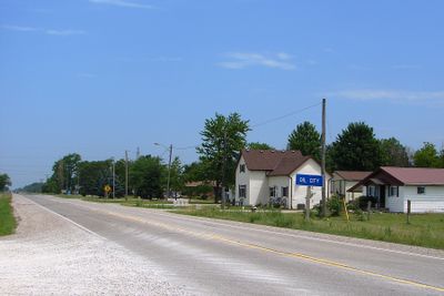
Enniskillen, township municipality in Ontario, Canada
Location: Lambton County
Shares border with: Plympton–Wyoming, Petrolia, Oil Springs
Website: http://enniskillen.ca
GPS coordinates: 42.81670,-82.12500
Latest update: March 11, 2025 13:06
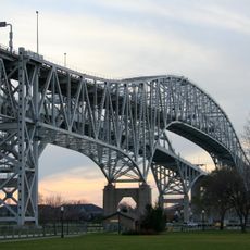
Blue Water Bridge
31.7 km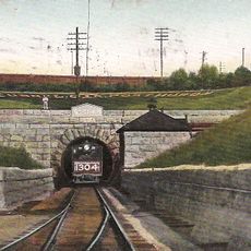
St. Clair Tunnel
28.1 km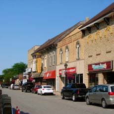
Forest
33.5 km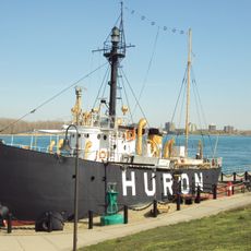
United States lightship Huron
31.2 km
Thomas Edison Depot Museum
31.8 km
Fort Gratiot
31.7 km
Fort Gratiot Light
32.2 km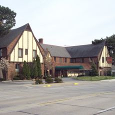
St. Clair Inn
29.4 km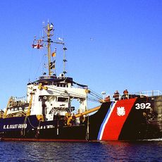
USCGC Bramble
29.2 km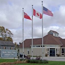
Uncle Tom's Cabin Historic Site
26.4 km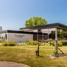
Oil Museum of Canada
4.8 km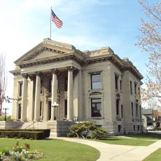
Ladies of the Maccabees Building
30.7 km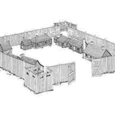
Fort St. Joseph
32.2 km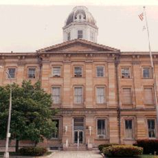
Federal Building
30.2 km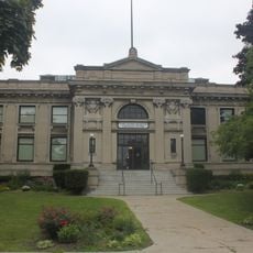
Carnegie Center
30.1 km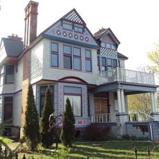
Wilbur F. Davidson House
29.6 km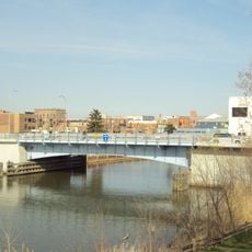
Seventh Street–Black River Bridge
30.4 km
Langbank Post Office
4.9 km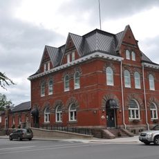
Old Post Office
7.5 km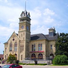
Victoria Hall
7.4 km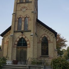
St. Ignatius Church
29.1 km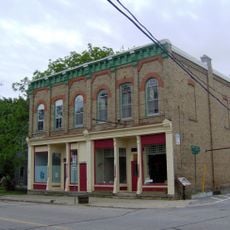
Independent Odd Fellows Ridgely Lodge
3.7 km
First Commercial Oil Field
3.8 km
Josiah Henson House
26.4 km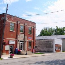
Community Hall
3.7 km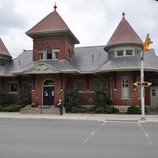
Petrolia Public Library
7.5 km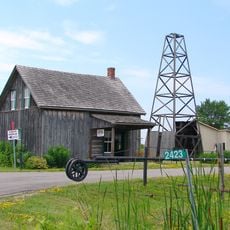
Oil Heritage Conservation District
5.2 km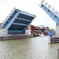
Military Street Bridge
30.1 kmVisited this place? Tap the stars to rate it and share your experience / photos with the community! Try now! You can cancel it anytime.
Discover hidden gems everywhere you go!
From secret cafés to breathtaking viewpoints, skip the crowded tourist spots and find places that match your style. Our app makes it easy with voice search, smart filtering, route optimization, and insider tips from travelers worldwide. Download now for the complete mobile experience.

A unique approach to discovering new places❞
— Le Figaro
All the places worth exploring❞
— France Info
A tailor-made excursion in just a few clicks❞
— 20 Minutes